


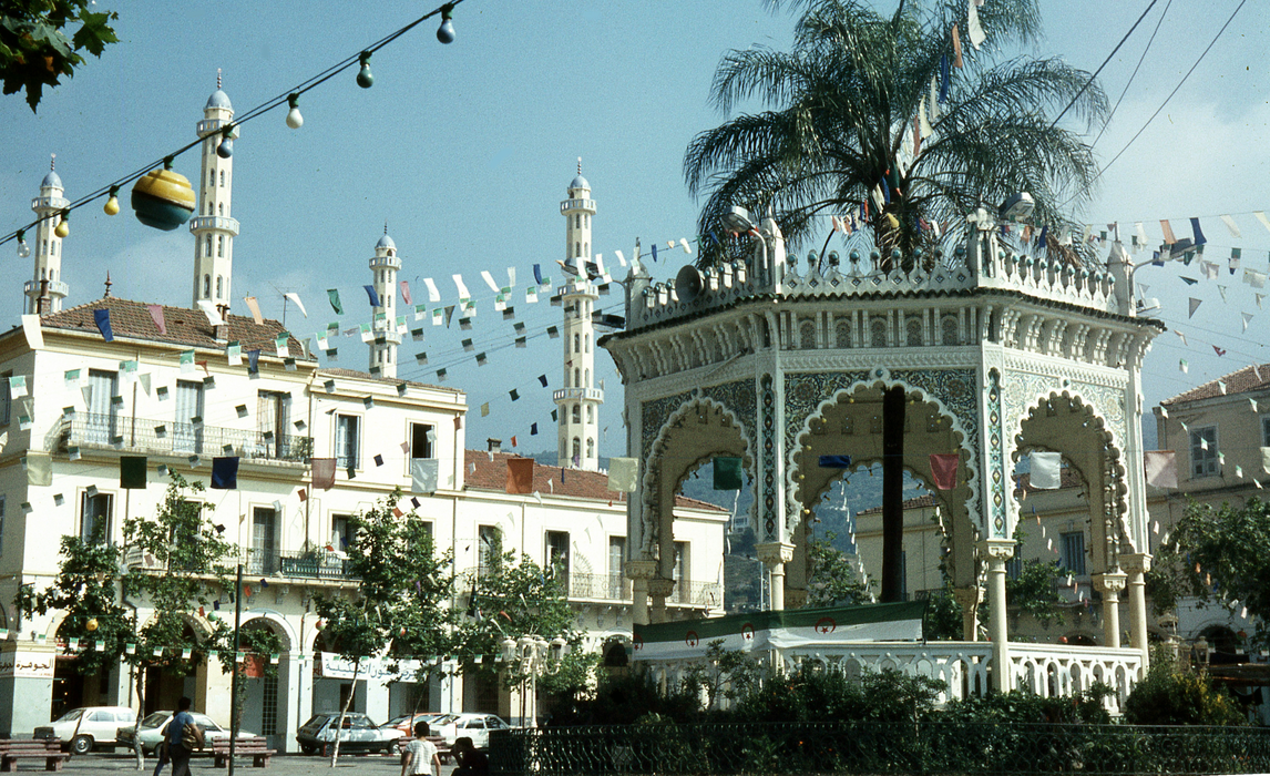
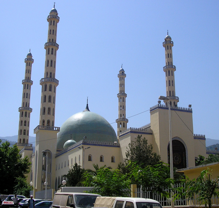
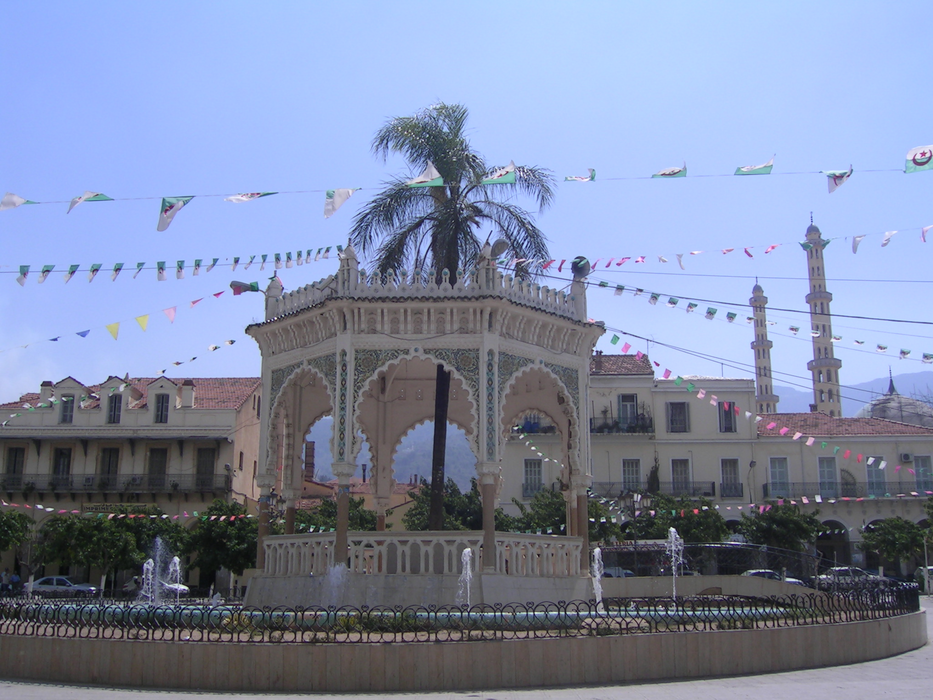


Map and nearest places
| Longitude | Latitude |
|---|---|
| 36.466666666666704 | 2.81666666666667 |
| 36°28'0"N | 2°49'0"E |
| Nearest places | ||
|---|---|---|
| Blida Airport | 4.1km | |
 | Algier | 41.7km |
| Algiers-Houari Boumedienne Airport | 43.5km | |
| Chlef International Airport | 136.0km | |
 | Chlef | 137.0km |
| Bou Chekif Airport | 174.7km | |
| Ain Eddis Airport | 177.7km | |
 | Tiaret | 182.2km |
 | Bou Saada | 185.4km |
| Soummam Airport | 203.0km | |
 | Bejaia | 203.3km |
 | Djelfa | 204.0km |
| John Paul II International Airport | 2,034.4km | |
| Gisborne Airport | 19,523.7km | |
Airports
Weblinks
Comments
You need to log in to add comment