


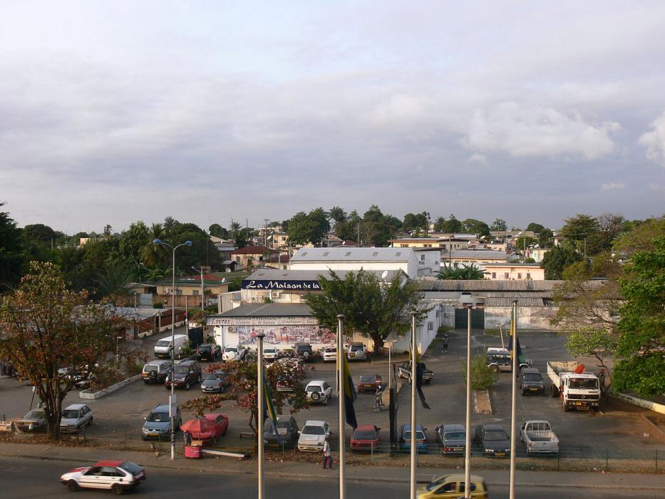
Gallery


Map and nearest places
| Longitude | Latitude |
|---|---|
| 0.45111111111111096 | 9.45 |
| 0°27'0"N | 9°26'0"E |
| Nearest places | ||
|---|---|---|
| Libreville International Airport | 4.3km | |
| Port Gentil | 149.5km | |
| Port Gentil International Airport | 150.7km | |
| Lambarene | 153.7km | |
| Lambarene Airport | 156.0km | |
_518028313_16.png) | Bata | 159.1km |
| Bata Airport | 166.5km | |
| Principe Island | 261.6km | |
| Principe Airport | 263.7km | |
| Fogo Airport | 266.3km | |
| Oyem | 267.8km | |
 | Sao Tome | 302.6km |
| John Paul II International Airport | 5,604.8km | |
| Canton Island Airport | 19,727.0km | |
Airports
Weblinks
Comments
You need to log in to add comment