


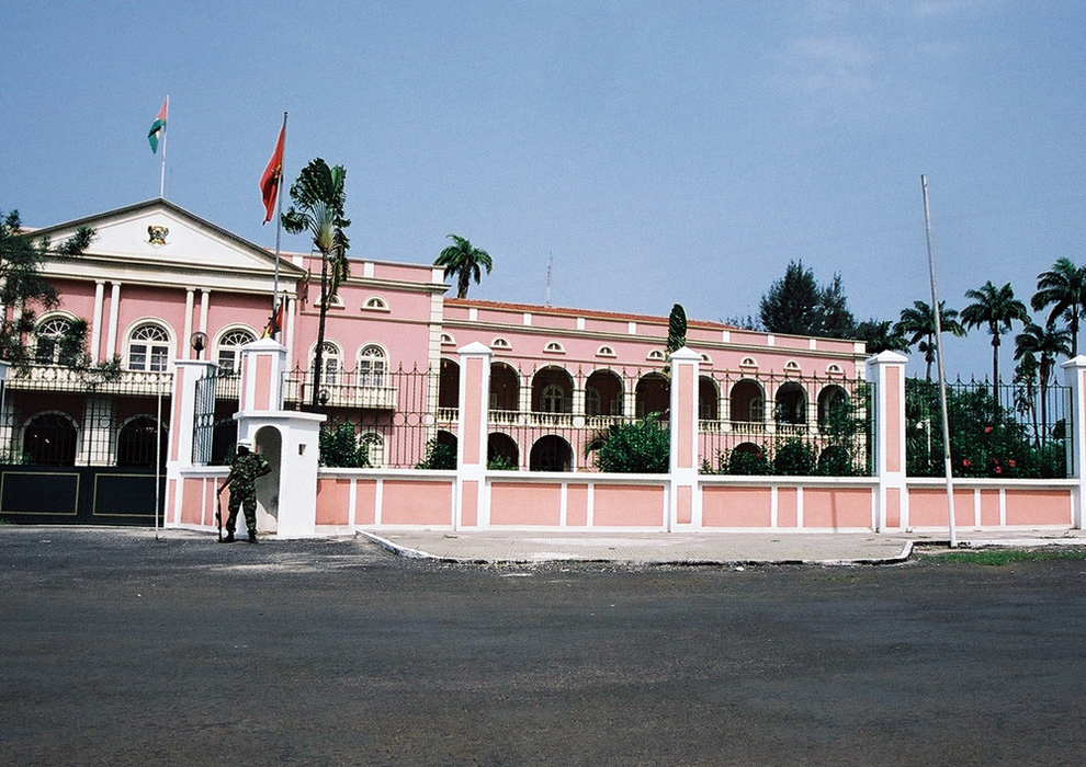

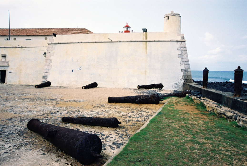


Map and nearest places
| Longitude | Latitude |
|---|---|
| 0.37 | 6.73 |
| 0°22'0"N | 6°43'0"E |
| Nearest places | ||
|---|---|---|
| Sao Tome International Airport | 2.2km | |
| Principe Island | 160.3km | |
| Principe Airport | 162.5km | |
| Port Gentil International Airport | 255.2km | |
| Port Gentil | 258.3km | |
| Libreville International Airport | 298.4km | |
 | Libreville | 302.6km |
_518028313_16.png) | Bata | 376.1km |
| Bata Airport | 382.2km | |
| Lambarene | 406.8km | |
| Lambarene Airport | 408.8km | |
| Malabo | 439.7km | |
| John Paul II International Airport | 5,664.5km | |
| Canton Island Airport | 19,697.0km | |
Airports
Weblinks
Comments
You need to log in to add comment