


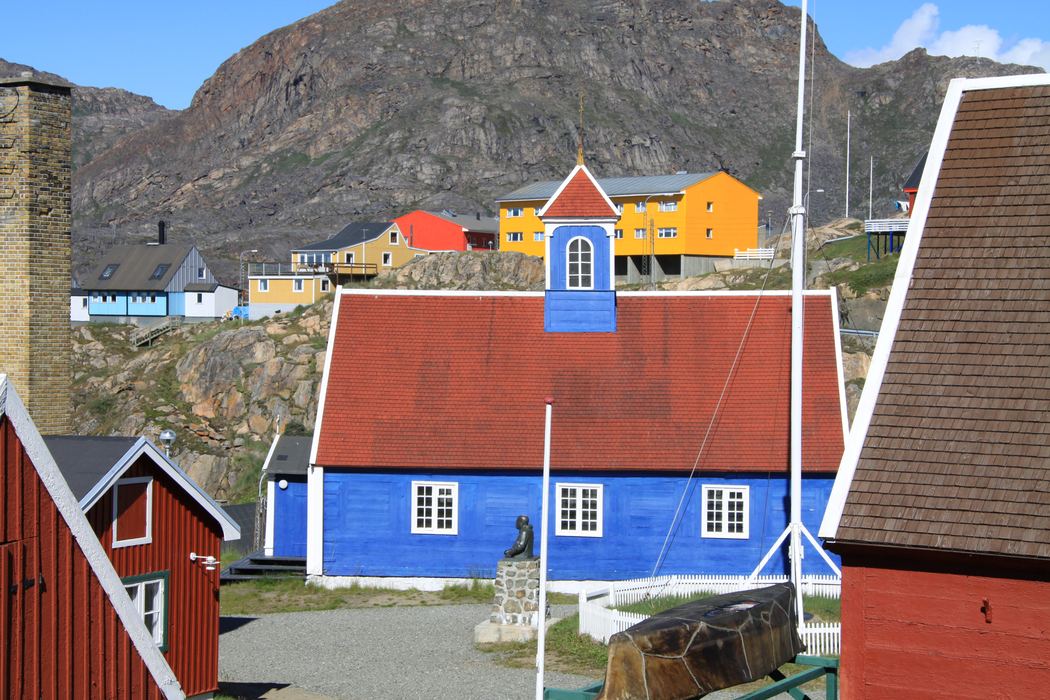
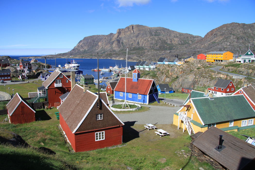
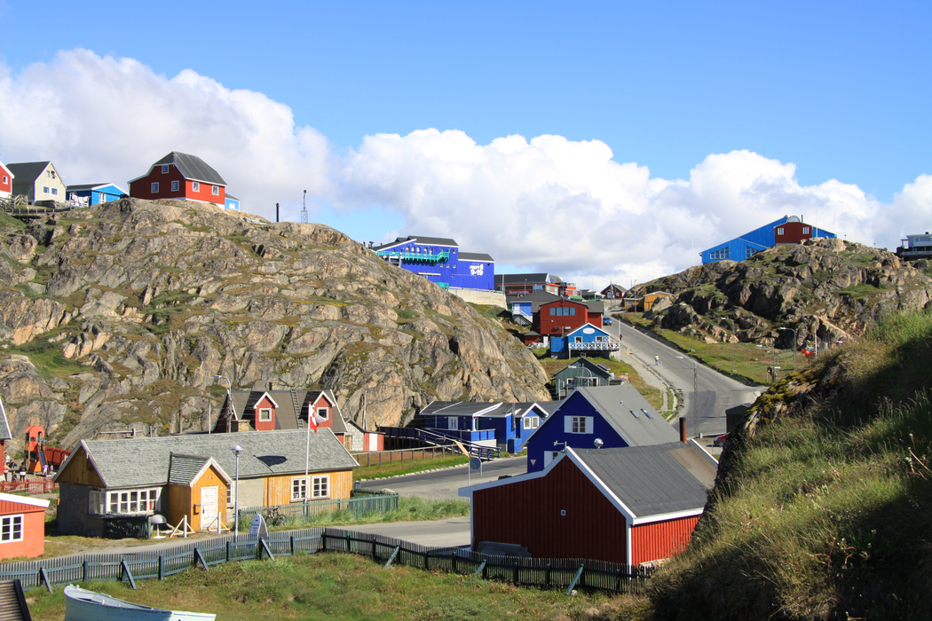

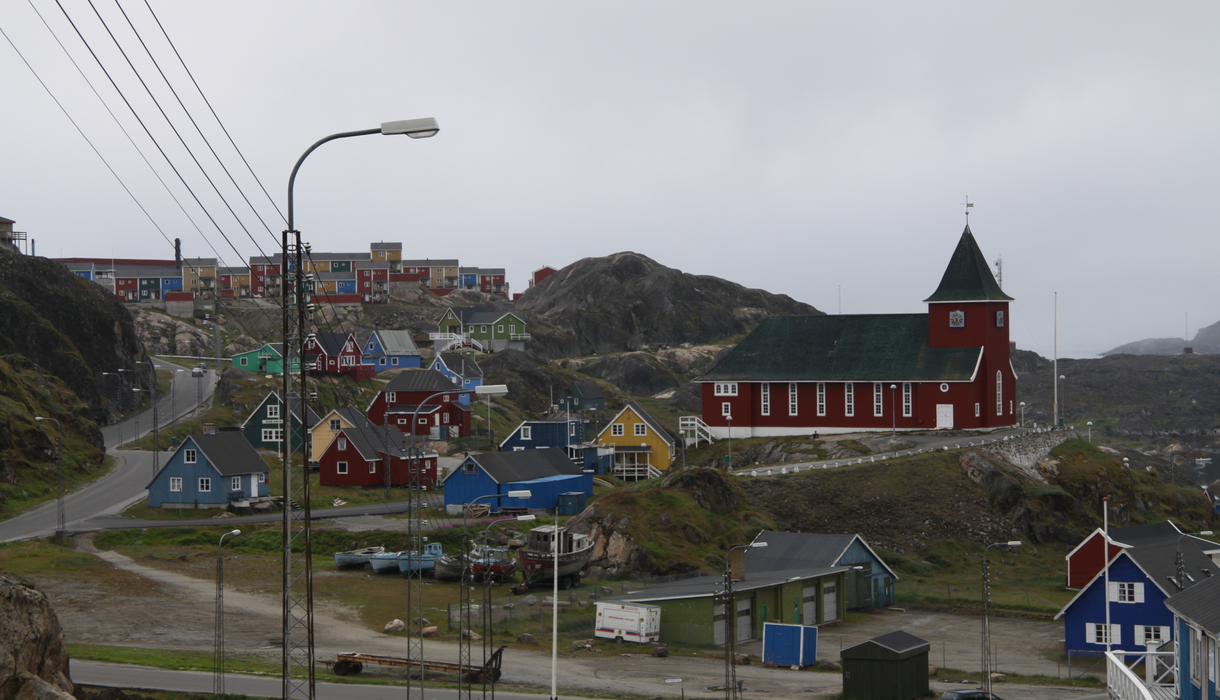


Map and nearest places
| Longitude | Latitude |
|---|---|
| 66.9388888888889 | -53.672222222222196 |
| 66°56'0"N | 53°40'0"W |
| Nearest places | ||
|---|---|---|
| Sisimiut Airport | 2.9km | |
| Kangerlussuaq Airport | 129.8km | |
| Kangerlussuaq | 130.0km | |
| Maniitsoq | 172.8km | |
| Maniitsoq Airport | 172.9km | |
 | Aasiaat | 199.8km |
| Aasiaat Airport | 201.7km | |
| Qasigiannguit Heliport | 233.5km | |
 | Qasigiannguit | 235.2km |
| Qeqertarsuaq Heliport | 257.2km | |
 | Qeqertarsuaq | 261.0km |
 | Ilulissat | 274.8km |
| John Paul II International Airport | 4,336.0km | |
| Hobart International Airport | 17,046.7km | |
Accomodation
Airports

Weblinks
Comments
You need to log in to add comment