


Map and nearest places
| Longitude | Latitude |
|---|---|
| 66.9513888888889 | -53.729444444444404 |
| 66°57'0"N | 53°43'0"W |
| Nearest places | ||
|---|---|---|
| Sisimiut | 2.9km | |
| Kangerlussuaq Airport | 132.2km | |
| Kangerlussuaq | 132.4km | |
| Maniitsoq | 174.7km | |
| Maniitsoq Airport | 174.8km | |
 | Aasiaat | 198.8km |
| Aasiaat Airport | 200.8km | |
| Qasigiannguit Heliport | 233.4km | |
 | Qasigiannguit | 235.1km |
| Qeqertarsuaq Heliport | 255.8km | |
 | Qeqertarsuaq | 260.0km |
| Ilulissat Airport | 277.9km | |
| John Paul II International Airport | 4,338.1km | |
| Hobart International Airport | 17,044.1km | |
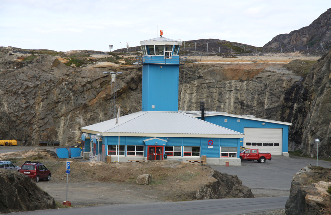
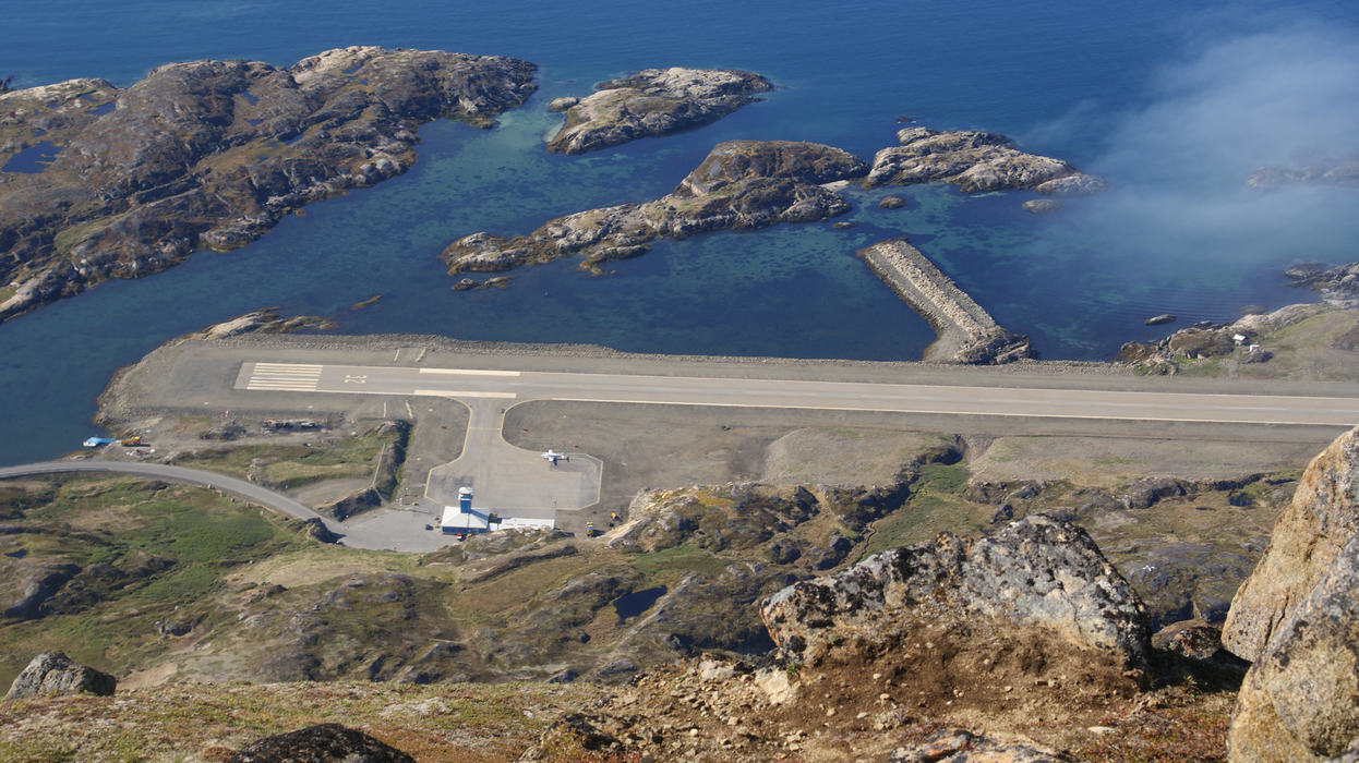
General informations
| Airport type | Local airport |
| ICAO | BGSS |
| IATA | JHS |
| Elevation | 33 ft / 10 m MSL |
| World Pax Ranking 2015 | #2112 |
| World Pax Ranking 2012 | #2000 |
| Year | Pax |
|---|---|
| 2015 | 20338 |
| 2012 | 22955 |
| 2008 | 29071 |
| 2007 | 28574 |
| 2006 | 28390 |
| 2005 | 21216 |
| 2004 | 18890 |
| 2003 | 20034 |
| 2002 | 21299 |
| 2001 | 18812 |
Weblinks
Comments
You need to log in to add comment