


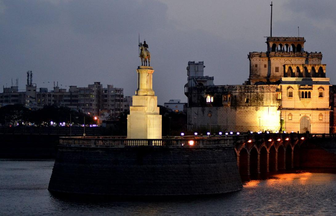
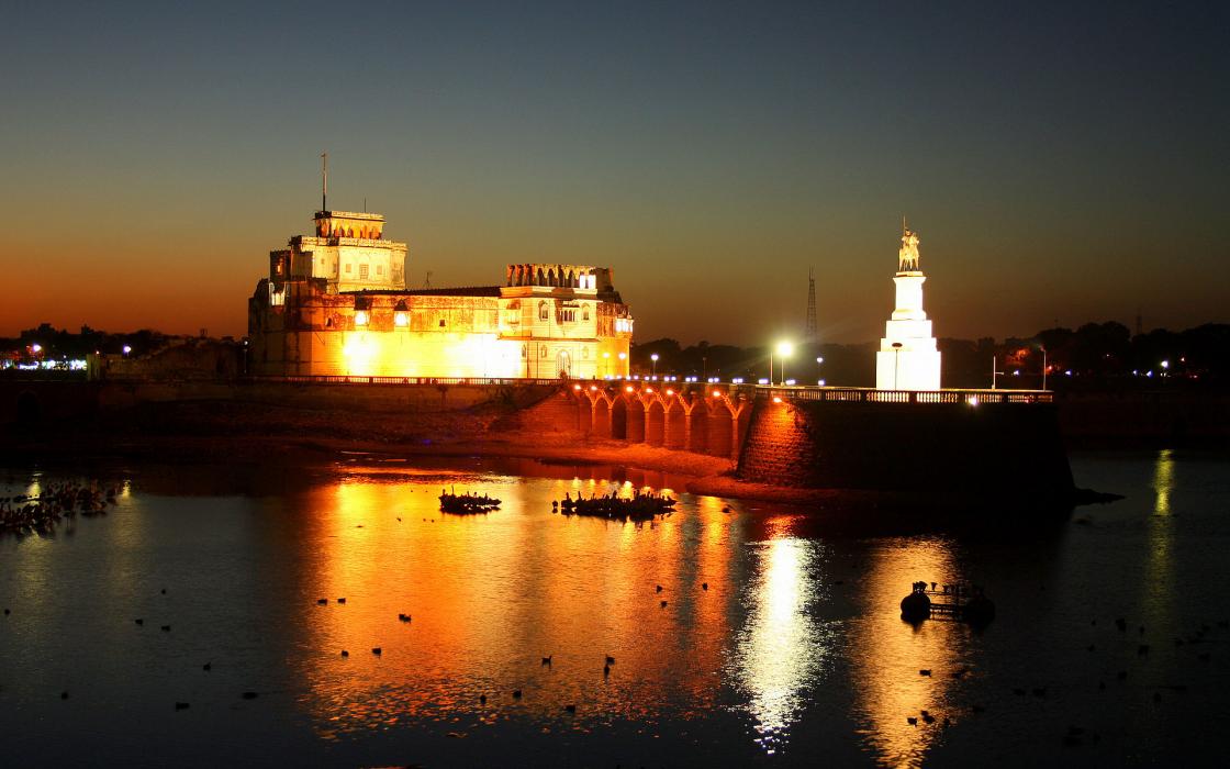
Gallery


Map and nearest places
| Longitude | Latitude |
|---|---|
| 22.4666666666667 | 70.06666666666669 |
| 22°28'0"N | 70°4'0"E |
| Nearest places | ||
|---|---|---|
| Jamnagar Airport | 5.6km | |
| Kandla | 64.6km | |
| Kandla Airport | 71.9km | |
| Rajkot Airport | 75.3km | |
| Rajkot | 78.1km | |
| Bhuj | 96.1km | |
| Bhuj Airport | 99.9km | |
| Porbandar Airport | 100.3km | |
| Porbandar | 104.2km | |
| Keshod Airport | 129.6km | |
| Keshod | 131.1km | |
| Diu | 216.4km | |
| John Paul II International Airport | 5,312.4km | |
| Mataveri International Airport | 19,490.1km | |

Airports
Weblinks
Comments
You need to log in to add comment