


Gallery
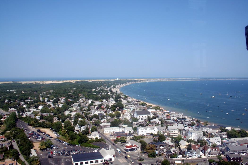
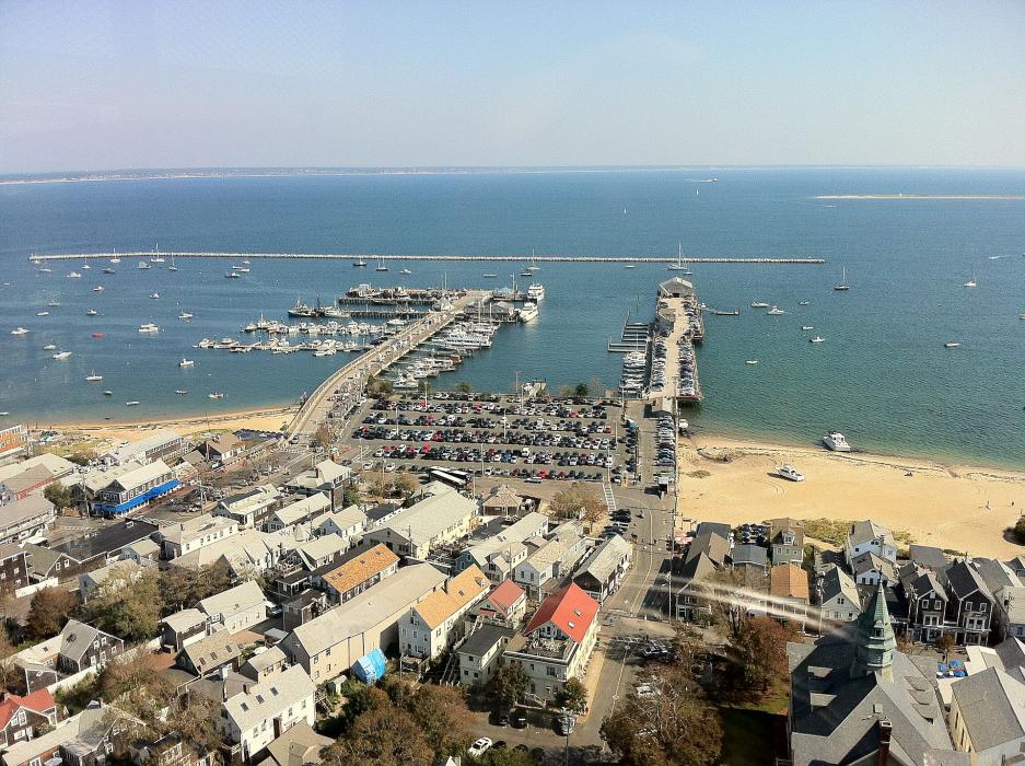


Map and nearest places
| Longitude | Latitude |
|---|---|
| 42.058333 | -70.179167 |
| 42°3'0"N | 70°10'0"W |
| Nearest places | ||
|---|---|---|
| Provincetown Municipal Airport | 3.8km | |
 | Truro | 12.9km |
 | Wellfleet | 18.0km |
 | Eastham | 30.5km |
 | Orleans | 33.7km |
 | Brewster | 34.1km |
| Dennis | 35.9km | |
| Chatham Municipal Airport | 44.0km | |
| Barnstable Municipal Airport | 44.0km | |
| Plymouth Municipal Airport | 48.4km | |
| Taunton Municipal Airport | 72.2km | |
| Boston Logan International Airport | 76.1km | |
| John Paul II International Airport | 6,567.9km | |
| Busselton Regional Airport | 18,964.6km | |
Restaurants
Airports
Weblinks
Comments
You need to log in to add comment