


Map and nearest places
| Longitude | Latitude |
|---|---|
| 44.326111111111096 | -74.1308333333333 |
| 44°19'0"N | 74°7'0"W |
| Nearest places | ||
|---|---|---|
| Adirondack Regional Airport | 8.9km | |
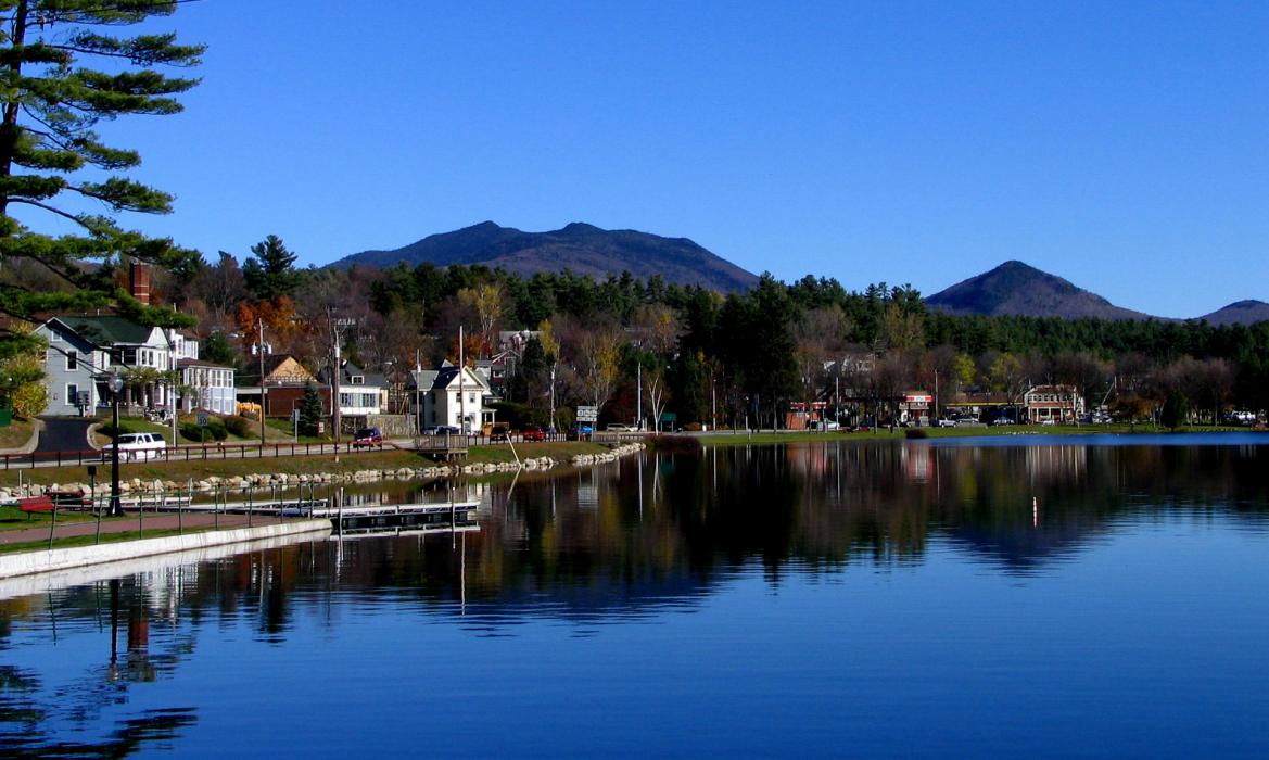
| Lake Placid | 12.4km | |
| Lake Placid Airport | 15.1km | |
| Tupper Lake | 28.6km | |
| Schroon Lake Airport | 60.2km | |
| Malone | 60.7km | |
| Malone-Dufort Airport | 60.7km | |
| Schroon Lake | 61.7km | |
| Clinton County Airport | 62.7km | |
| Plattsburgh International Airport | 63.8km | |
| Plattsburgh | 67.3km | |
| Shelburne | 72.4km | |
| John Paul II International Airport | 6,638.3km | |
| Busselton Regional Airport | 18,576.6km | |
Restaurants
Breweries
Airports
Weblinks
Comments
You need to log in to add comment