


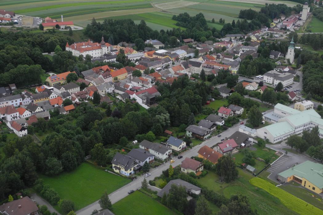
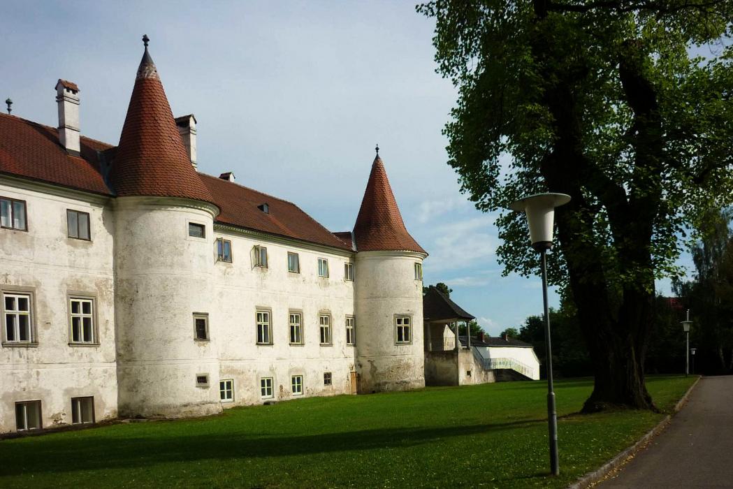
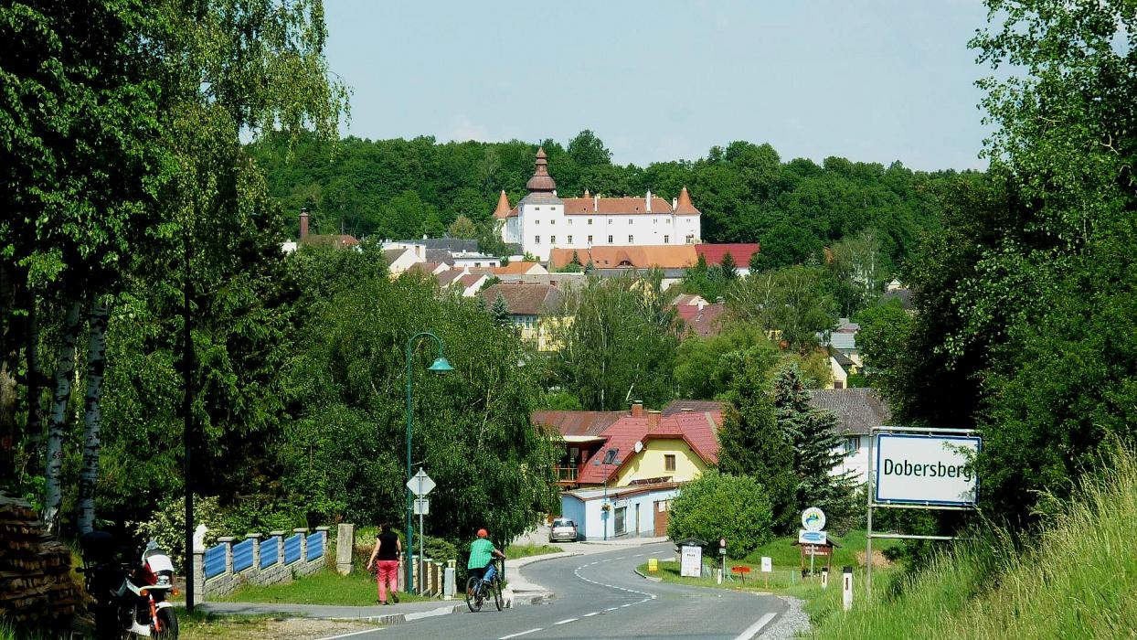
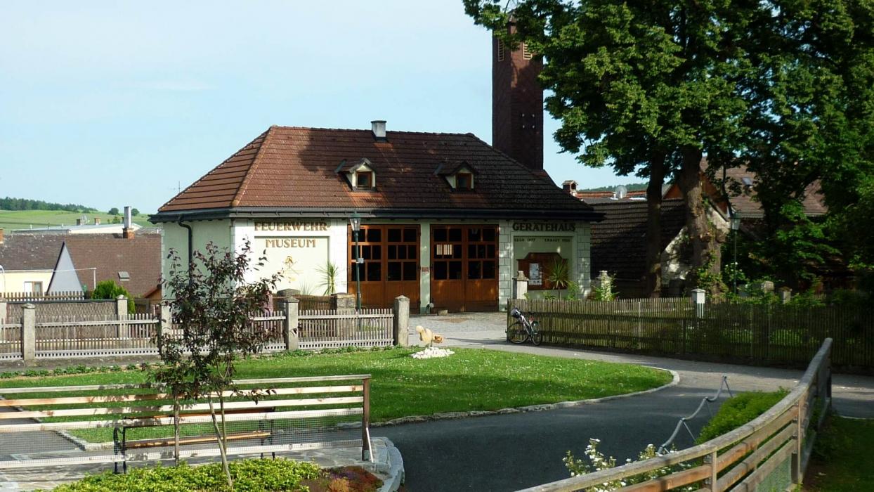


Map and nearest places
| Longitude | Latitude |
|---|---|
| 48.915 | 15.320833333333299 |
| 48°54'0"N | 15°19'0"E |
| Nearest places | ||
|---|---|---|
| Dobersberg Airport | 1.9km | |
 | Waidhofen an der Thaya | 11.3km |
 | Raabs an der Thaya | 14.6km |
 | Heidenreichstein | 15.9km |
 | Dačice | 20.4km |
 | Telc | 31.5km |
 | Jindrichuv Hradec | 35.1km |
| Krems Airport | 57.0km | |
| Brno-Turany Airport | 103.5km | |
| Blue Danube Airport | 112.7km | |
| Wels Airport | 124.5km | |
| Pardubice Airport | 125.8km | |
| John Paul II International Airport | 347.3km | |
| Tuuta Airport | 18,949.6km | |
Airports
Weblinks
Comments
You need to log in to add comment