


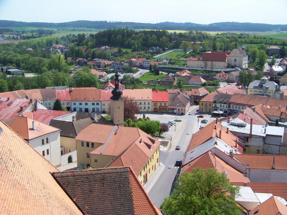
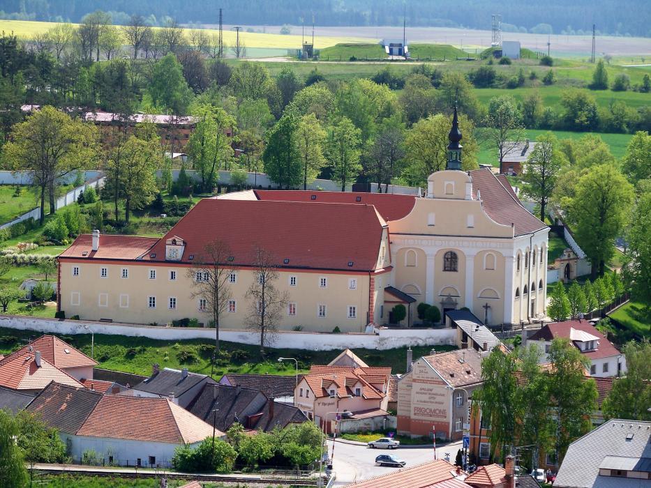
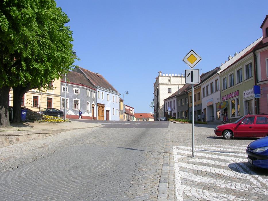
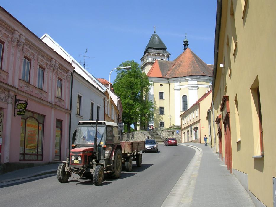
Gallery


Map and nearest places
| Longitude | Latitude |
|---|---|
| 49.083333 | 15.433333 |
| 49°4'0"N | 15°25'0"E |
| Nearest places | ||
|---|---|---|
 | Telc | 11.3km |
 | Dobersberg | 20.4km |
| Dobersberg Airport | 20.5km | |
 | Raabs an der Thaya | 26.5km |
 | Moravské Budìjovice | 27.5km |
 | Brtnice | 30.6km |
 | Waidhofen an der Thaya | 31.6km |
| Krems Airport | 72.3km | |
| Brno-Turany Airport | 92.1km | |
| Pardubice Airport | 105.7km | |
| Blue Danube Airport | 131.6km | |
| Vienna Schwechat International Airport | 136.7km | |
| John Paul II International Airport | 332.6km | |
| Tuuta Airport | 18,933.6km | |
Accomodation

Weblinks
Comments
You need to log in to add comment