


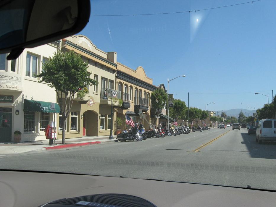
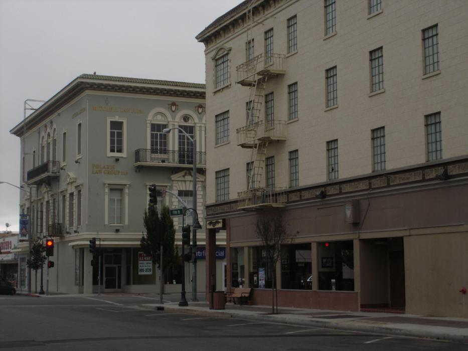
Gallery


Map and nearest places
| Longitude | Latitude |
|---|---|
| 36.8472222222222 | -121.398333333333 |
| 36°50'0"N | 121°23'0"W |
| Nearest places | ||
|---|---|---|
| Hollister Municipal Airport | 5.2km | |
| Gilroy | 24.4km | |
| Salinas Municipal Airport | 27.6km | |
 | Salinas | 29.5km |
| Watsonville | 33.5km | |
| Watsonville Municipal Airport | 36.2km | |
| Marina Municipal Airport | 37.5km | |
| Gonzales | 38.1km | |
| Marina | 40.3km | |
| Monterey Peninsula Airport | 49.1km | |
 | Monterey | 52.5km |
| Los Banos Municipal Airport | 52.8km | |
| John Paul II International Airport | 9,626.5km | |
| Tolagnaro Airport | 18,298.2km | |
Accomodation
Restaurants
Golfs club
Wineries
Airports

Weblinks
Comments
You need to log in to add comment