


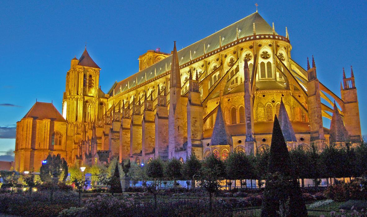

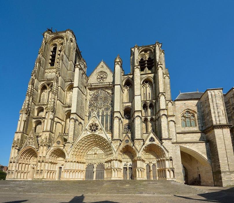
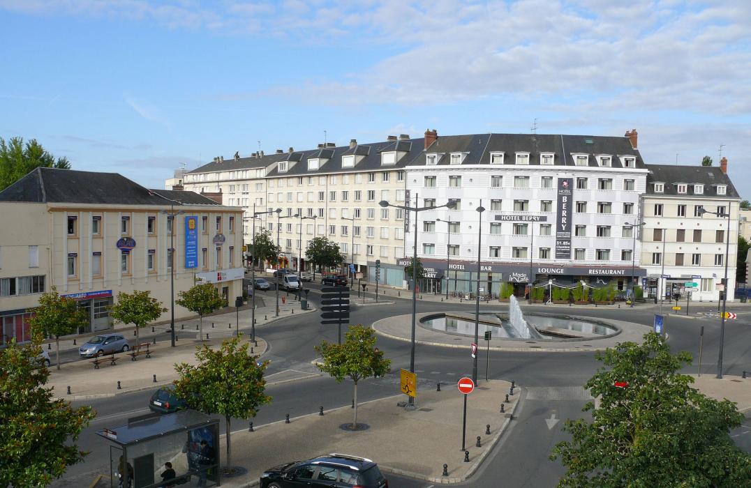


Map and nearest places
| Longitude | Latitude |
|---|---|
| 47.0844444444444 | 2.37972222222222 |
| 47°5'0"N | 2°22'0"E |
| Nearest places | ||
|---|---|---|
| Bourges Airport | 2.2km | |
 | Vierzon | 28.0km |
 | Issoudun | 32.3km |
 | Cosne-sur-Loire | 55.1km |
| Chateauroux/Deols-Marcel Dassault Airport | 55.8km | |
| Fourchambault Airport | 56.1km | |
 | Chateauroux | 60.5km |
 | Nevers | 60.7km |
 | Donzy | 64.7km |
| Montlucon - Gueret Airport | 82.6km | |
| St-Denis de l'Hotel Airport | 91.8km | |
| Moulins - Montbeugny Airport | 100.3km | |
| John Paul II International Airport | 1,319.5km | |
| Tuuta Airport | 19,639.9km | |
Airports
Weblinks
Comments
You need to log in to add comment