


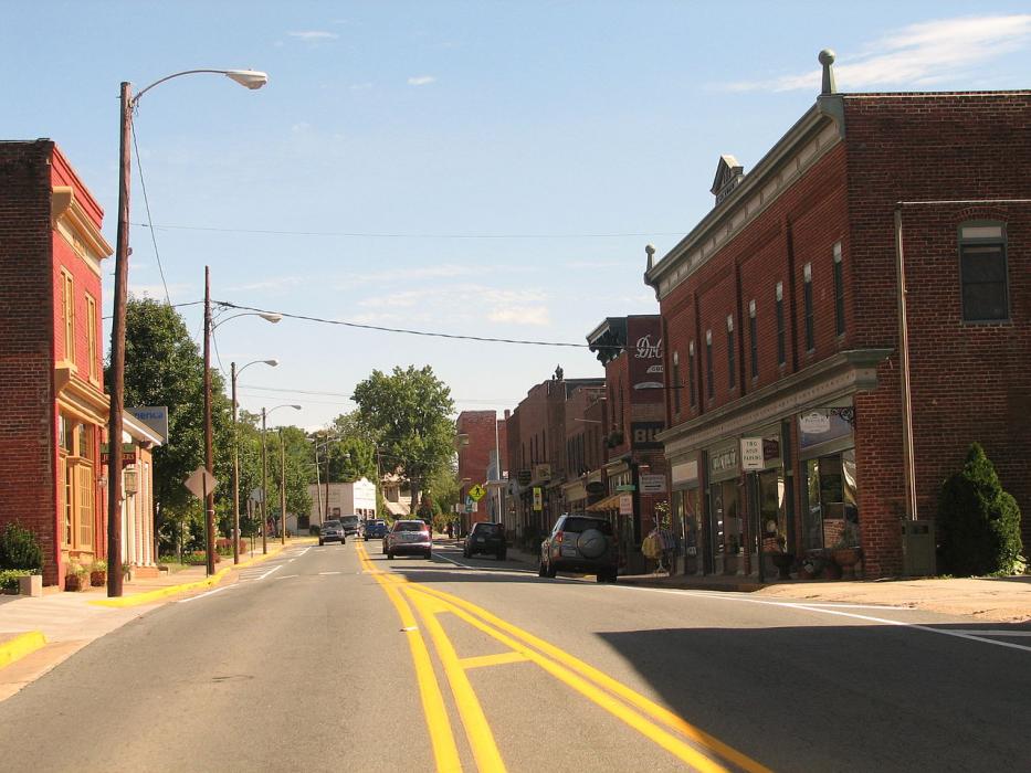
Gallery


Map and nearest places
| Longitude | Latitude |
|---|---|
| 38.134722 | -78.186944 |
| 38°8'0"N | 78°11'0"W |
| Nearest places | ||
|---|---|---|
| Gordonsville Municipal Airport | 3.0km | |
| Orange | 14.1km | |
| Orange County Airport | 17.6km | |
| Louisa | 20.3km | |
| Charlottesville-Albemarle Airport | 23.3km | |
| Louisa County Airport | 23.5km | |
 | Charlottesville | 28.1km |
| Culpeper | 40.9km | |
| Crozet | 45.6km | |
| Scottsville | 45.9km | |
| Culpeper Regional Airport | 52.0km | |
| Shenandoah Valley Regional Airport | 63.6km | |
| John Paul II International Airport | 7,360.9km | |
| Busselton Regional Airport | 18,697.6km | |
Restaurants
Museums
Golfs club
Wineries
Airports
Weblinks
Comments
On 09-20-2017 10:17 Jerzy said:
There are 17.40 miles from Gordonsville to Charlottesville in southwest direction and 20 miles (32.19 kilometers) by car, following the SR 231 route.
You need to log in to add comment
There are 17.40 miles from Gordonsville to Charlottesville in southwest direction and 20 miles (32.19 kilometers) by car, following the SR 231 route.
You need to log in to add comment