


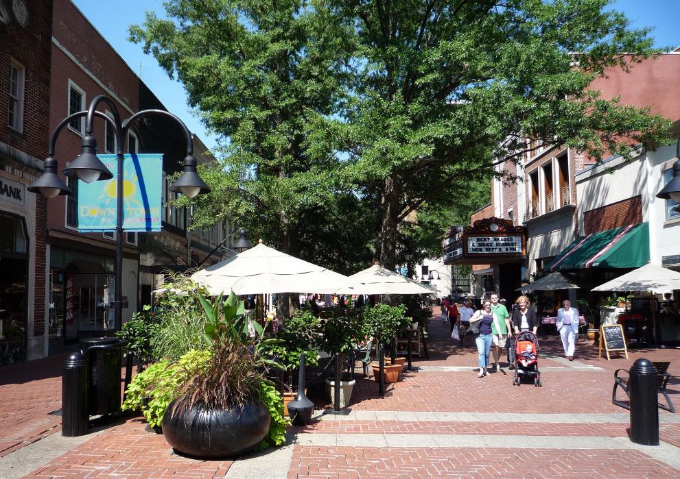
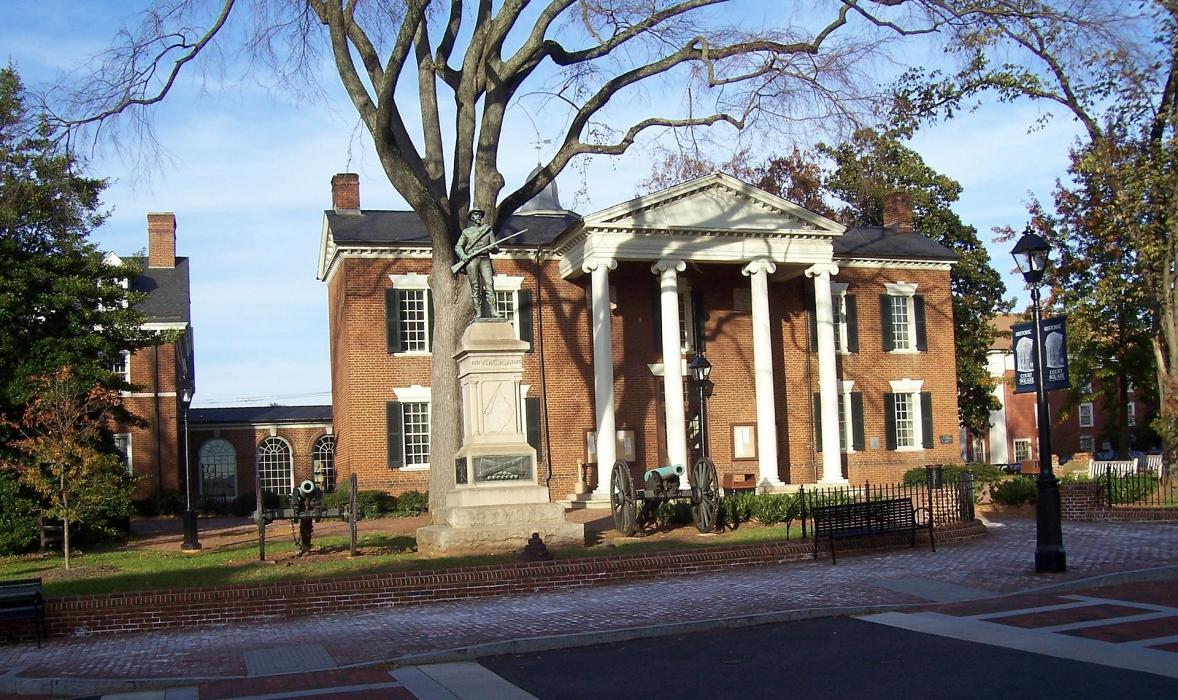


Map and nearest places
| Longitude | Latitude |
|---|---|
| 38.03 | -78.4788888888889 |
| 38°1'0"N | 78°28'0"W |
| Nearest places | ||
|---|---|---|
| Charlottesville-Albemarle Airport | 12.3km | |
| Crozet | 20.0km | |
| Scottsville | 25.4km | |
| Gordonsville | 28.1km | |
| Gordonsville Municipal Airport | 30.8km | |
| Orange | 40.2km | |
| Louisa | 41.8km | |
| Louisa County Airport | 44.6km | |
| Shenandoah Valley Regional Airport | 44.8km | |
| Orange County Airport | 44.9km | |
| Lovingston | 45.7km | |
| Bridgewater Air Park | 56.3km | |
| John Paul II International Airport | 7,387.0km | |
| Busselton Regional Airport | 18,676.7km | |
Accomodation
Restaurants
Golfs club
Wineries
Spirits Distillery
Breweries
Airports
Weblinks
Comments
You need to log in to add comment