


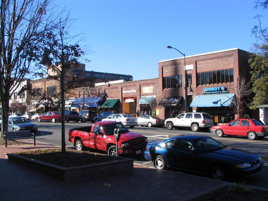
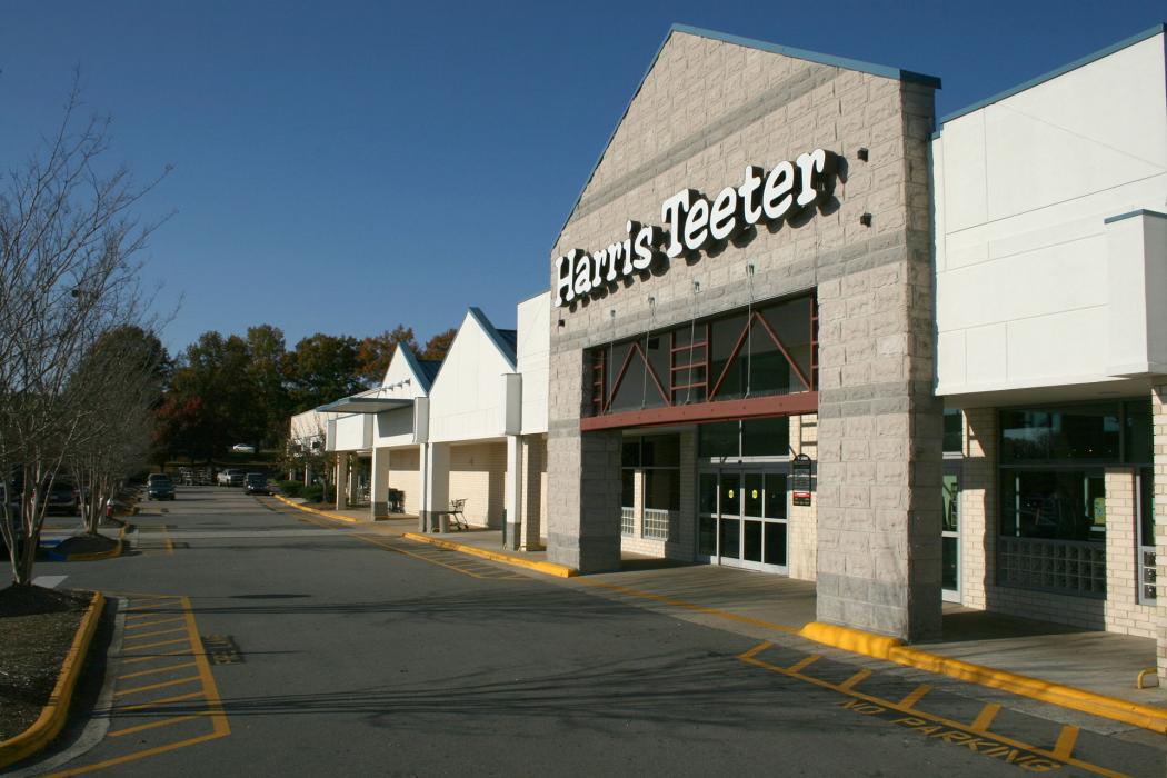
Gallery


Map and nearest places
| Longitude | Latitude |
|---|---|
| 35.933333 | -79.033333 |
| 35°55'0"N | 79°1'0"W |
| Nearest places | ||
|---|---|---|
| Horace Williams Airport | 2.9km | |
| Carrboro | 4.8km | |
| Durham | 12.9km | |
| Raleigh-Durham International Airport | 23.0km | |
 | Cary | 27.1km |
| Apex | 27.7km | |
| Mebane | 28.0km | |
| Sanford-Lee County Regional Airport | 39.4km | |
 | Ralegih | 39.4km |
| Burlington-Alamance Regional Airport | 41.8km | |
| Siler City Municipal Airport | 49.5km | |
| Franklin County Airport | 64.0km | |
| John Paul II International Airport | 7,590.1km | |
| Busselton Regional Airport | 18,675.8km | |
Accomodation
Restaurants
Airports
Weblinks
Comments
You need to log in to add comment