


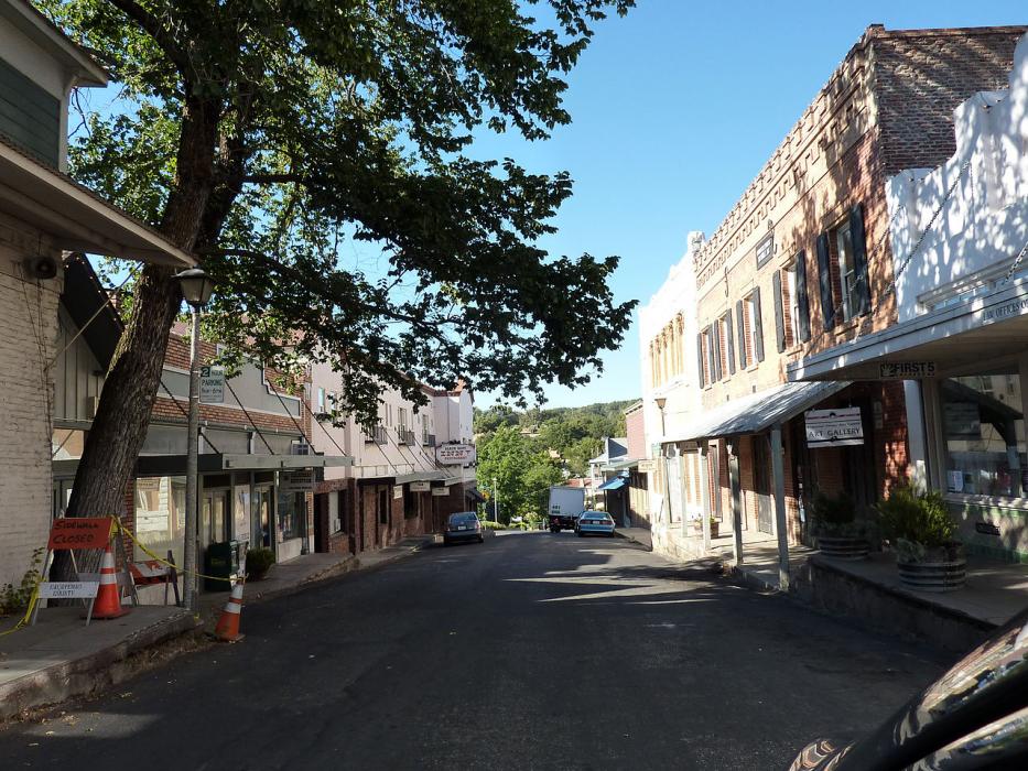
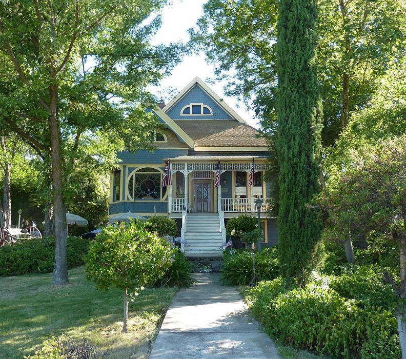
Gallery


Map and nearest places
| Longitude | Latitude |
|---|---|
| 38.196111 | -120.680556 |
| 38°11'0"N | 120°40'0"W |
| Nearest places | ||
|---|---|---|
| Calaveras County-Maury Rasmussen Field Airport | 6.2km | |
| Angels Camp | 18.8km | |
| Murphys | 20.0km | |
| Sutter Creek | 24.3km | |
| Arnold | 29.5km | |
| Columbia Airport | 29.7km | |
| Columbia | 30.4km | |
| Plymouth | 34.9km | |
| Rancho Murieta Airport | 49.0km | |
| Placerville Airport | 59.1km | |
| Stockton Metropolitan Airport | 59.3km | |
| Cameron Airpark | 60.5km | |
| John Paul II International Airport | 9,463.7km | |
| Tolagnaro Airport | 18,145.1km | |
Airports
Weblinks
Comments
You need to log in to add comment