


Map and nearest places
| Longitude | Latitude |
|---|---|
| 49.499722222222196 | 11.0791666666667 |
| 49°29'0"N | 11°4'0"E |
| Nearest places | ||
|---|---|---|
 | Nuremberg | 5.5km |
 | Füerth | 7.2km |
 | Erlangen | 12.0km |
 | Lauf an der Pegnitz | 14.3km |
 | Herzogenaurach | 16.0km |
 | Feucht | 16.3km |
| Bayreuth Airport | 67.5km | |
| Coburg Steinrucken Airport | 81.5km | |
| Giebelstadt Airport | 81.9km | |
| Coburg Airport | 85.1km | |
| Würzburg-Schenkenturm Airport | 92.1km | |
| Ingolstadt Airport | 93.3km | |
| John Paul II International Airport | 627.9km | |
| Tuuta Airport | 19,160.9km | |
General informations
| Airport type | Regional airport |
| ICAO | EDDN |
| IATA | NUE |
| Elevation | 1,046 ft / 319 m MSL |
| World Pax Ranking 2023 | #392(-5) |
| World Pax Ranking 2022 | #387(+219) |
| World Pax Ranking 2021 | #606(-38) |
| World Pax Ranking 2020 | #568(-187) |
| World Pax Ranking 2019 | #381(-15) |
| World Pax Ranking 2018 | #366(-11) |
| World Pax Ranking 2017 | #355(+27) |
| World Pax Ranking 2016 | #382(-7) |
| World Pax Ranking 2015 | #375(+1) |
| World Pax Ranking 2014 | #376(-15) |
| World Pax Ranking 2013 | #361(-27) |
| World Pax Ranking 2012 | #334(-27) |
| World Pax Ranking 2011 | #307(-18) |
| World Pax Ranking 2010 | #289(-6) |
| Year | Pax |
|---|---|
| 2024 | 4028000 |
| 2023 | 3923254 |
| 2022 | 3277996 |
| 2021 | 1063153 |
| 2020 | 916163 |
| 2019 | 4111689 |
| 2018 | 4466864 |
| 2017 | 4186961 |
| 2016 | 3485372 |
| 2015 | 3384925 |
| 2014 | 3257348 |
| 2013 | 3309629 |
| 2012 | 3602459 |
| 2011 | 3962617 |
| 2010 | 4068799 |
| 2009 | 3965743 |
| 2008 | 4270000 |
| 2007 | 4238275 |
| 2006 | 3960963 |
| 2005 | 3841752 |
| 2004 | 3648325 |
| 2003 | 3290216 |
| 2002 | 3208518 |
| 2001 | 3196104 |
| 2000 | 3149881 |
| 1999 | 2779412 |
| 1998 | 2518028 |
| 1997 | 2418338 |
| 1996 | 2225005 |
| 1995 | 2250694 |
| 1994 | 1881151 |
| 1993 | 1821027 |
| 1992 | 1667810 |
| 1991 | 1427730 |
| 1972 | 640241 |
Weblinks
Comments
On 10-13-2025 18:24 Jerzy said:
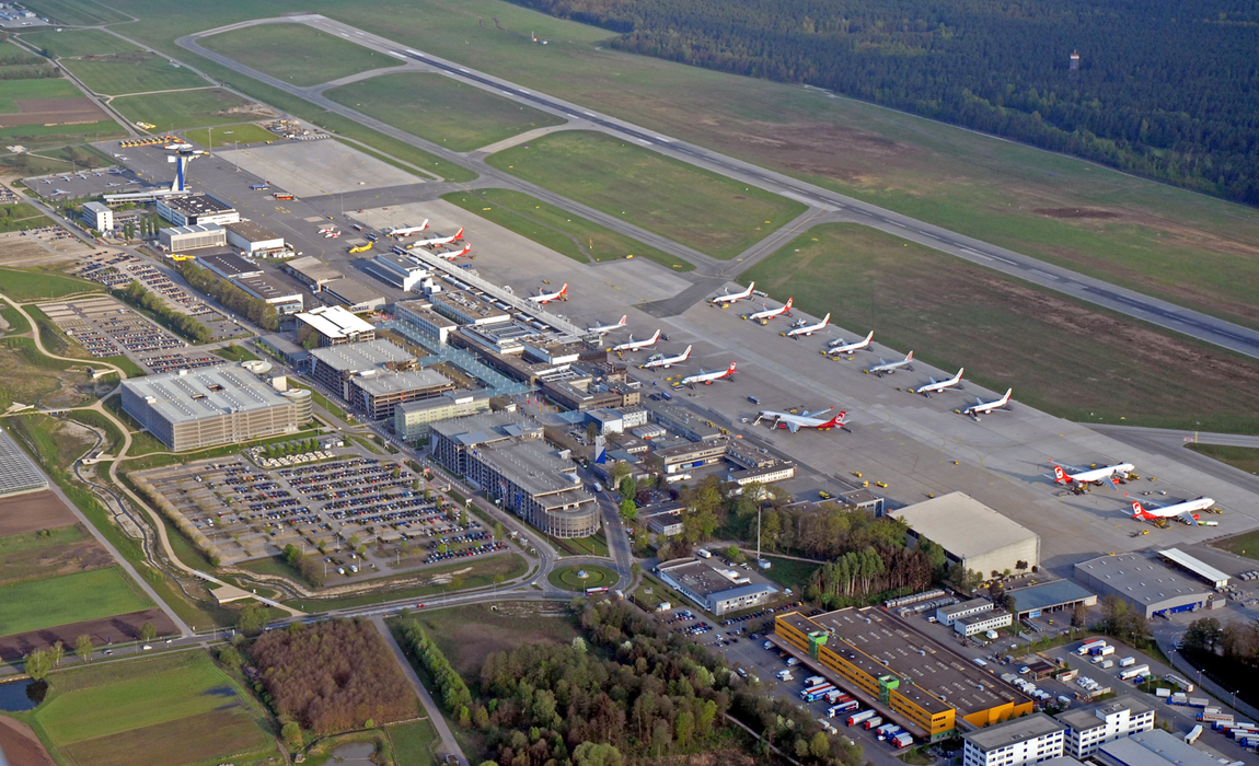
Nuremberg Airport (NUE) is a mid-sized airport in Germany. You can fly to 58 destinations with 22 airlines in scheduled passenger traffic.
On 12-28-2019 17:48 Jerzy said:
Distance from Nuremberg to La Coruña (Nuremberg Airport – A Coruña Airport) is 1019 miles / 1640 kilometers / 886 nautical miles.
You need to log in to add comment