


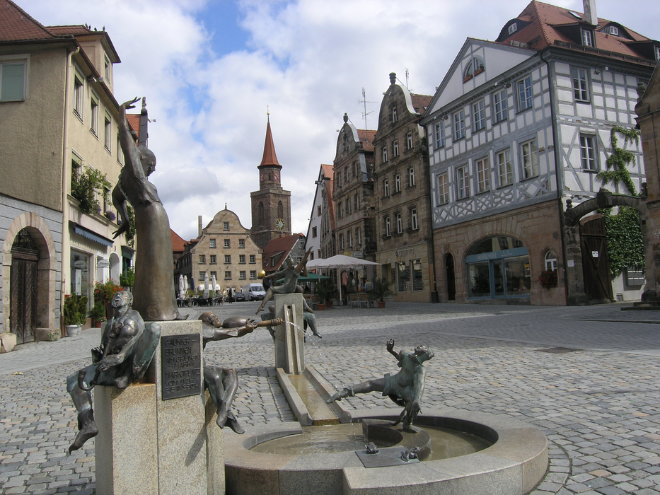
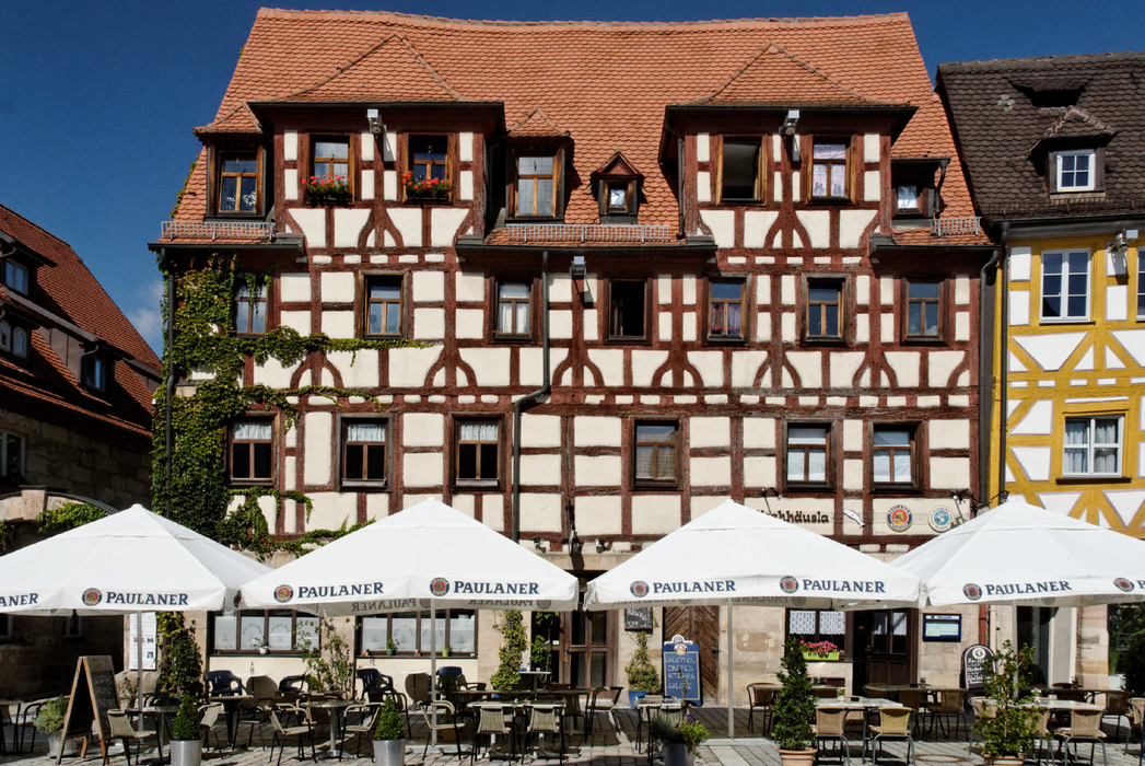
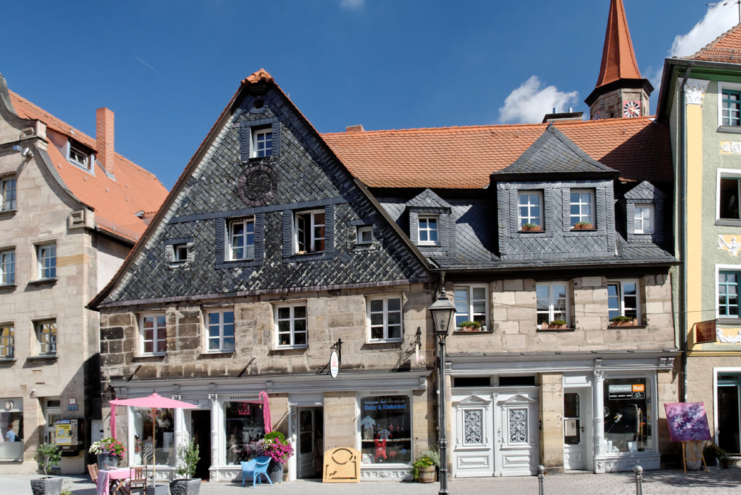
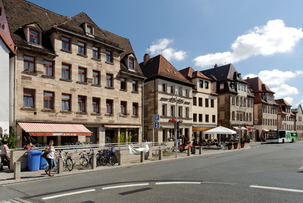
Gallery


Map and nearest places
| Longitude | Latitude |
|---|---|
| 49.483333333333306 | 10.983333333333299 |
| 49°28'0"N | 10°58'0"E |
| Nearest places | ||
|---|---|---|
| Nuremberg Airport | 7.2km | |
 | Nuremberg | 8.1km |
 | Herzogenaurach | 11.7km |
 | Erlangen | 13.2km |
 | Langenzenn | 13.4km |
 | Schwabach | 17.5km |
 | Feucht | 20.2km |
| Bayreuth Airport | 73.2km | |
| Giebelstadt Airport | 75.6km | |
| Coburg Steinrucken Airport | 83.1km | |
| Würzburg-Schenkenturm Airport | 86.6km | |
| Coburg Airport | 86.7km | |
| John Paul II International Airport | 635.0km | |
| Tuuta Airport | 19,167.0km | |
Accomodation
Weblinks
Comments
You need to log in to add comment