


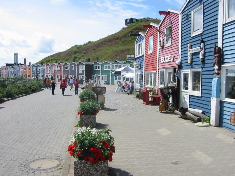
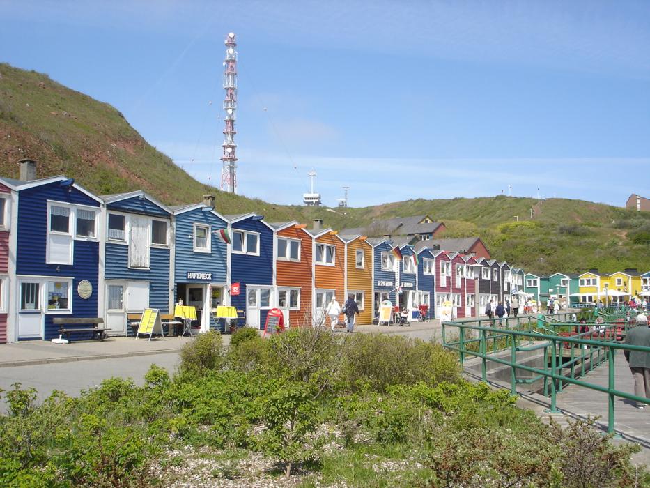
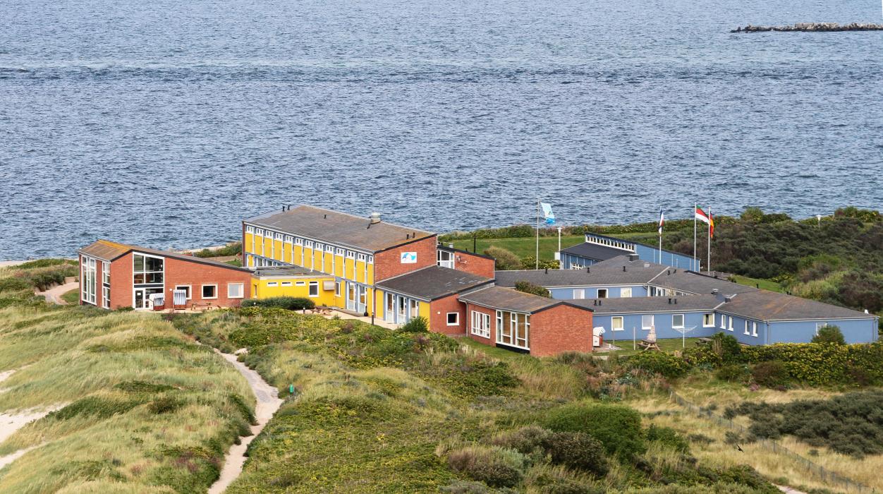
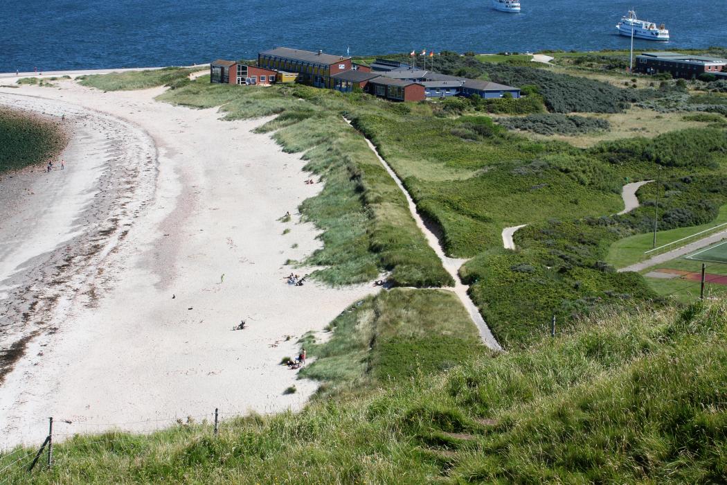
Gallery


Map and nearest places
| Longitude | Latitude |
|---|---|
| 54.1833333333333 | 7.88333333333333 |
| 54°10'0"N | 7°52'0"E |
| Nearest places | ||
|---|---|---|
| Helgoland Airport | 2.1km | |
 | Wangerooge | 43.8km |
| Wangerooge Airport | 44.6km | |
| Sankt Peter-Ording | 51.5km | |
| Harle Airport | 53.2km | |
| Harlesiel | 53.2km | |
 | Neuharlingersiel | 55.1km |
 | Langeoog | 55.1km |
| Langeoog Airport | 55.1km | |
 | Baltrum | 60.7km |
| Baltrum Airport | 60.9km | |
| Heide-Busum Airport | 66.5km | |
| John Paul II International Airport | 930.2km | |
| Tuuta Airport | 18,819.5km | |
Accomodation
Restaurants
Airports
Weblinks
Comments
You need to log in to add comment