


Gallery


Map and nearest places
| Longitude | Latitude |
|---|---|
| 53.7247222222222 | 7.3733333333333295 |
| 53°43'0"N | 7°22'0"E |
| Nearest places | ||
|---|---|---|
 | Baltrum | 0.6km |
 | Langeoog | 7.5km |
| Langeoog Airport | 8.4km | |
| Nordeney Airport | 9.6km | |
 | Norderney | 15.0km |
 | Esens | 18.0km |
 | Norden | 18.0km |
| Juist Airport | 21.4km | |
 | Neuharlingersiel | 22.0km |
| Harle Airport | 29.5km | |
| Wangerooge Airport | 36.1km | |
| Emden Airport | 38.3km | |
| John Paul II International Airport | 941.5km | |
| Tuuta Airport | 18,877.9km | |
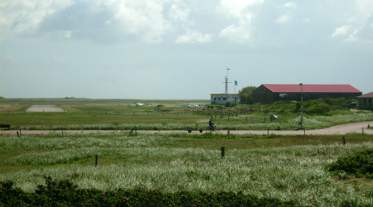
General informations
| Airport type | Local airport |
| ICAO | EDWZ |
| IATA | BMR |
| Elevation | 7 ft / 2 m MSL |
Weblinks
Comments
You need to log in to add comment