


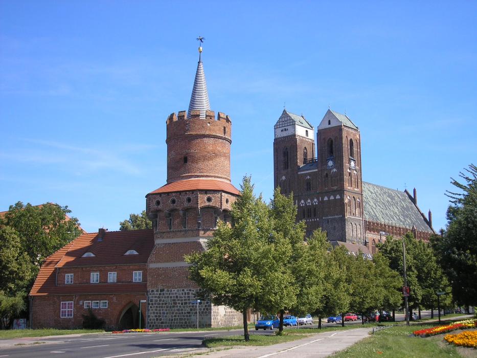


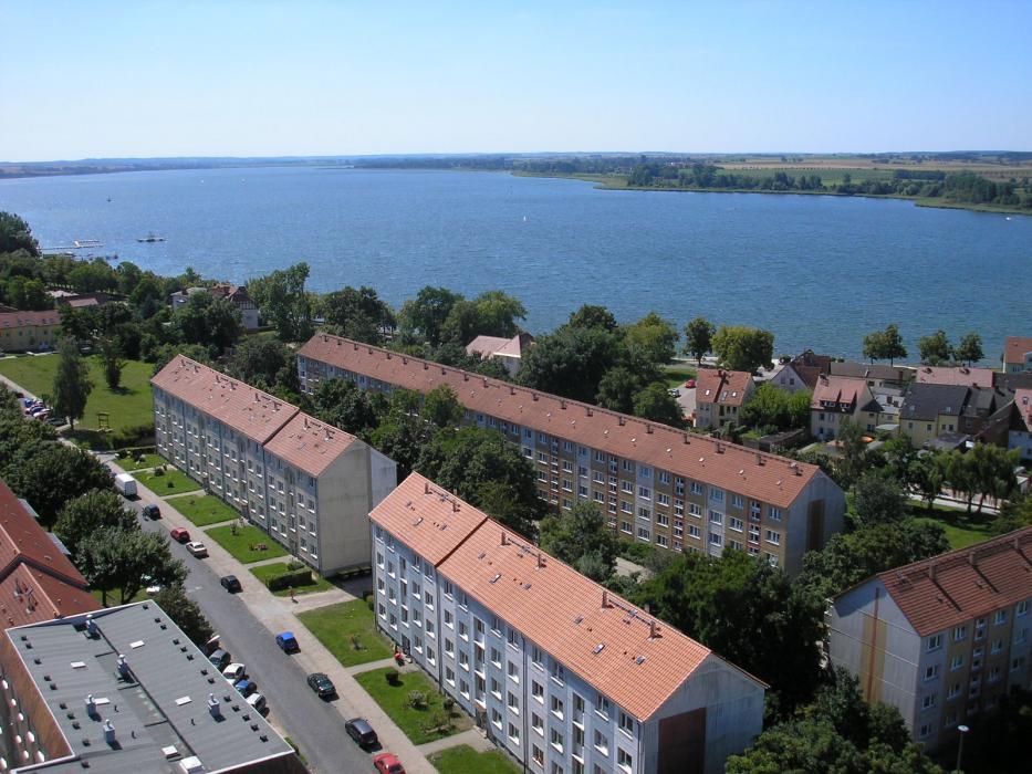


Map and nearest places
| Longitude | Latitude |
|---|---|
| 53.316667 | 13.866667 |
| 53°19'0"N | 13°52'0"E |
| Nearest places | ||
|---|---|---|
 | Pasewalk | 22.2km |
 | Burg Stargard | 41.9km |
| Chorin | 46.3km | |
 | Szczecin | 46.8km |
 | Neubrandenburg | 48.2km |
 | Ueckermünde | 48.4km |
| Neubrandenburg Airport | 48.7km | |
| Anklam Airport | 58.9km | |
| Heringsdorf Airport | 65.3km | |
| Solidarnosc Airport | 74.8km | |
| Strausberg Airport | 82.0km | |
| Neuhardenberg Airport | 82.2km | |
| John Paul II International Airport | 543.8km | |
| Tuuta Airport | 18,716.1km | |
Comments
You need to log in to add comment