


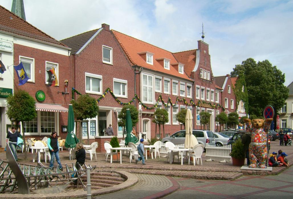
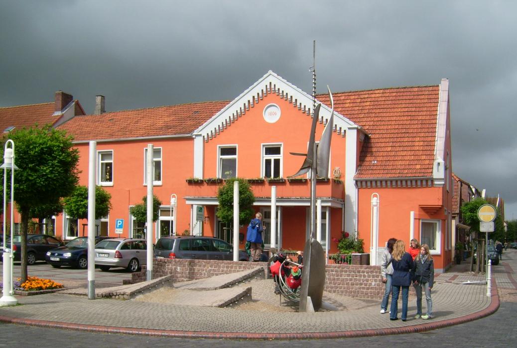
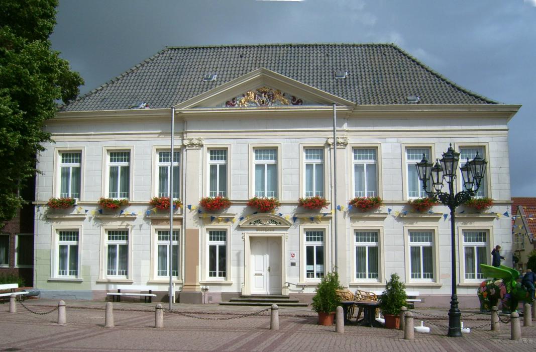
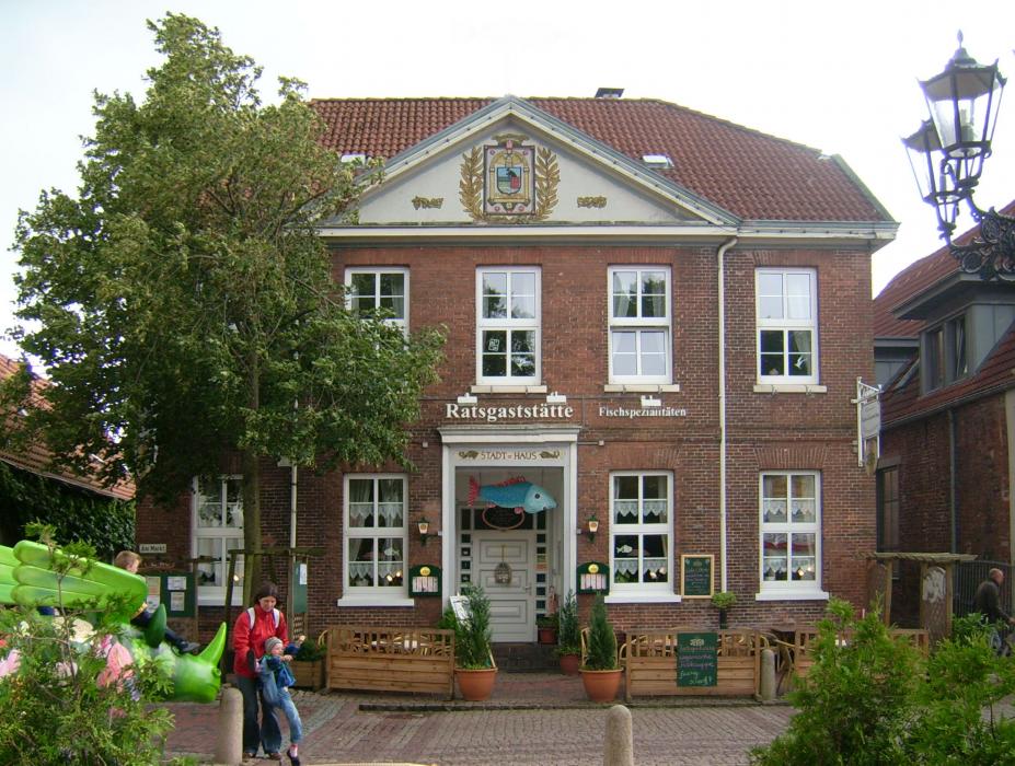


Map and nearest places
| Longitude | Latitude |
|---|---|
| 53.646944 | 7.612778 |
| 53°38'0"N | 7°36'0"E |
| Nearest places | ||
|---|---|---|
 | Neuharlingersiel | 8.4km |
| Langeoog Airport | 13.0km | |
 | Wittmund | 13.7km |
 | Langeoog | 14.3km |
| Harlesiel | 14.5km | |
| Harle Airport | 15.2km | |
| Baltrum Airport | 18.0km | |
 | Baltrum | 18.5km |
| Jever | 20.6km | |
| Wangerooge Airport | 24.9km | |
| Nordeney Airport | 26.1km | |
| Juist Airport | 36.9km | |
| John Paul II International Airport | 923.7km | |
| Tuuta Airport | 18,881.7km | |
Accomodation

Restaurants
Weblinks
Comments
You need to log in to add comment