


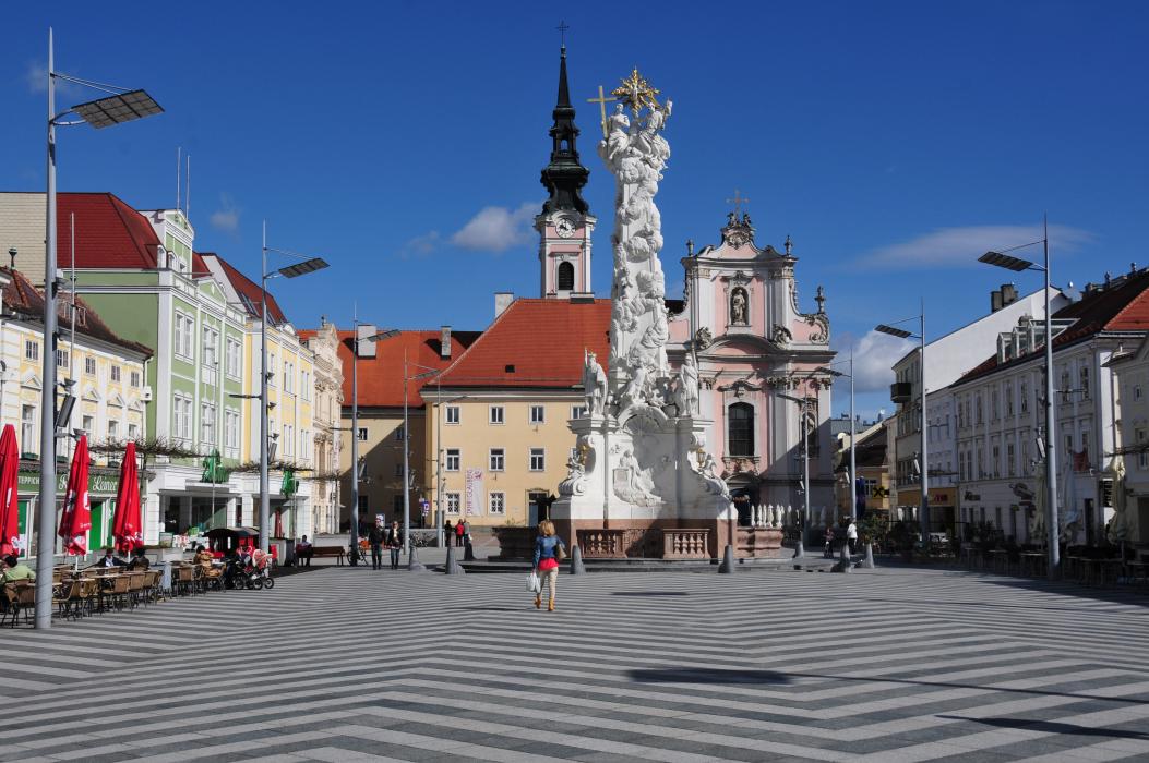
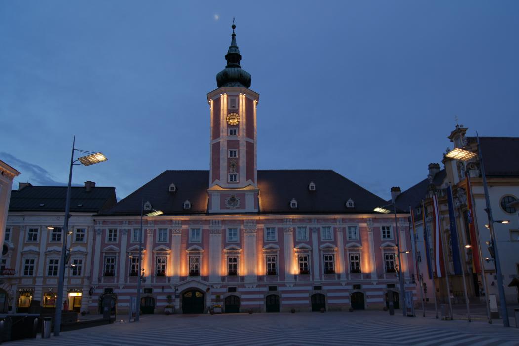
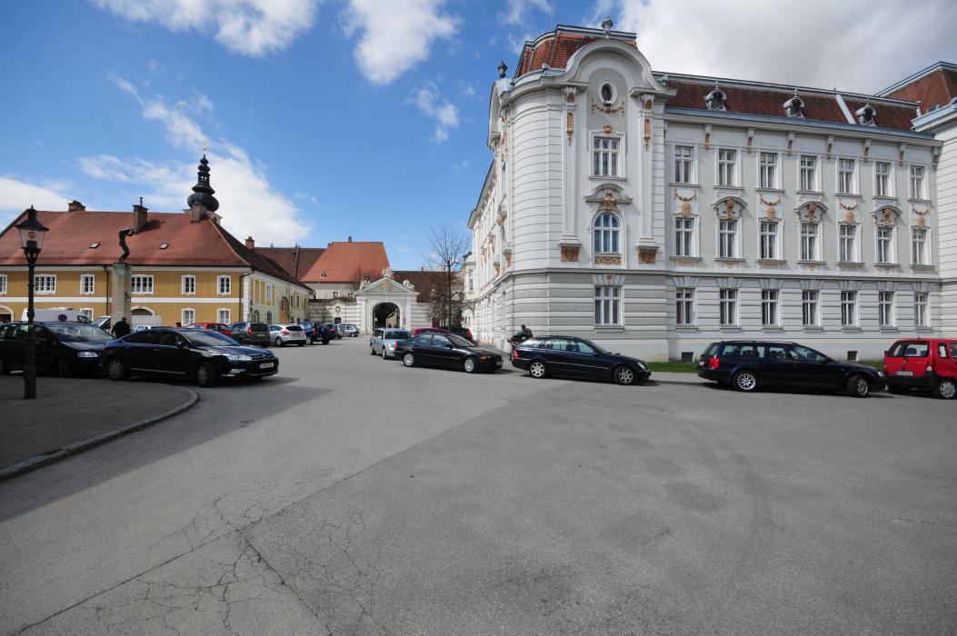
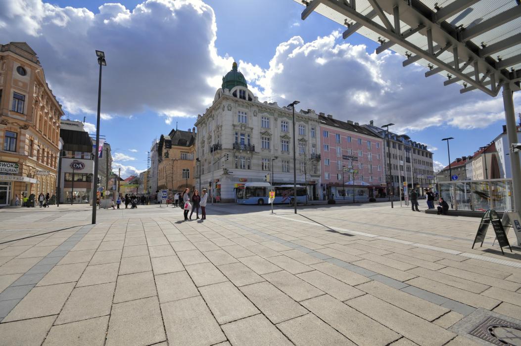
Gallery


Map and nearest places
| Longitude | Latitude |
|---|---|
| 48.204722 | 15.626667 |
| 48°12'0"N | 15°37'0"E |
| Nearest places | ||
|---|---|---|
 | Furth bei Göttweig | 18.1km |
 | Melk | 20.7km |
 | Lilienfeld | 21.4km |
 | Dürnstein | 22.6km |
 | Krems | 23.0km |
 | Spitz | 23.8km |
| Krems Airport | 26.9km | |
| Bad Voeslau | 54.1km | |
| Vienna Schwechat International Airport | 70.7km | |
| Dobersberg Airport | 83.4km | |
| Blue Danube Airport | 106.7km | |
| Wels Airport | 117.6km | |
| John Paul II International Airport | 367.2km | |
| Tuuta Airport | 18,963.3km | |
Accomodation
Restaurants
Museums
Weblinks
Comments
You need to log in to add comment