


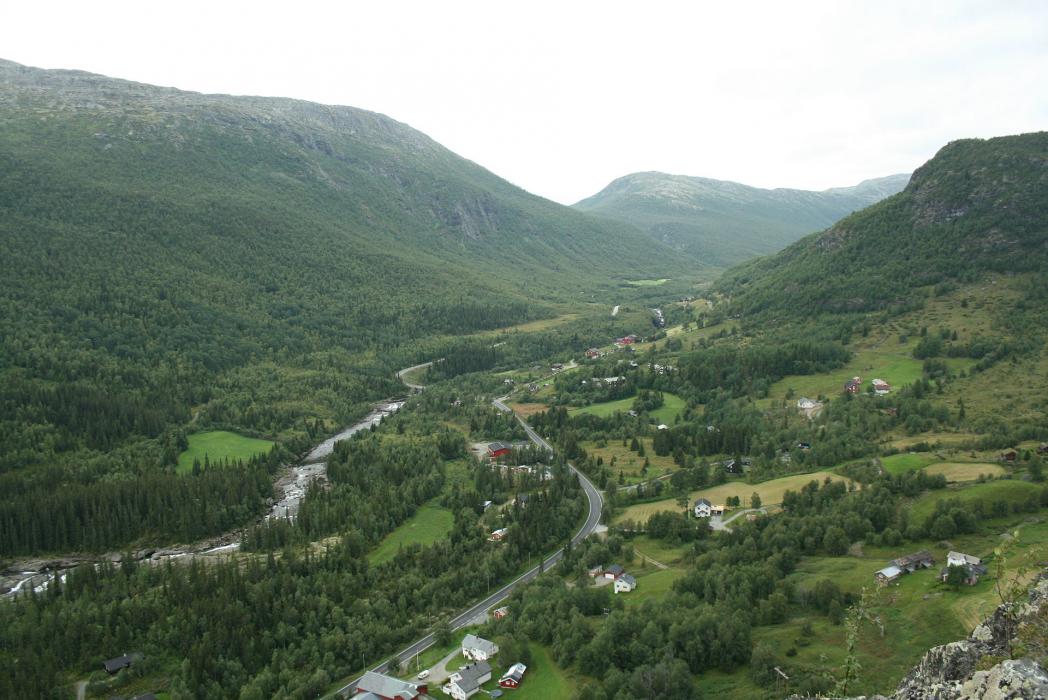


Map and nearest places
| Longitude | Latitude |
|---|---|
| 60.905833 | 8.514722 |
| 60°54'0"N | 8°30'0"E |
| Nearest places | ||
|---|---|---|
 | Gol | 30.8km |
 | Hol | 34.3km |
| Fagernes | 39.5km | |
| Fagernes Airport | 43.5km | |
| Geilo Airport | 54.4km | |
| Dagali | 55.1km | |
 | Aurland | 71.8km |
| Sogndal Airport | 79.3km | |
 | Sogndal | 87.0km |
| Notodden Airport | 150.9km | |
| Edsbyn Airport | 153.4km | |
| Forde Airport | 157.5km | |
| John Paul II International Airport | 1,393.4km | |
| Tuuta Airport | 18,085.7km | |
Accomodation
Restaurants
Weblinks
Comments
You need to log in to add comment