


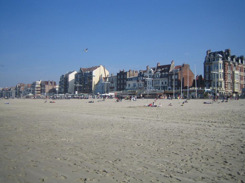


Map and nearest places
| Longitude | Latitude |
|---|---|
| 51.038333 | 2.3775 |
| 51°2'0"N | 2°22'0"E |
| Nearest places | ||
|---|---|---|
 | De Panne | 15.9km |
 | Koksijde | 20.2km |
 | Veurne | 20.5km |
| Oostduinkerke | 22.0km | |
 | Nieuwpoort | 27.4km |
| Calais-Dunkerque Airport | 31.0km | |
 | Poperinge | 32.6km |
| Ostend-Bruges International Airport | 38.4km | |
| Merville Airport | 50.4km | |
| Flanders International Airport | 63.0km | |
| Lille Lesquin International Airport | 72.9km | |
| Le Touquet Airport | 78.6km | |
| John Paul II International Airport | 1,231.4km | |
| Tuuta Airport | 19,206.6km | |
Comments
You need to log in to add comment