


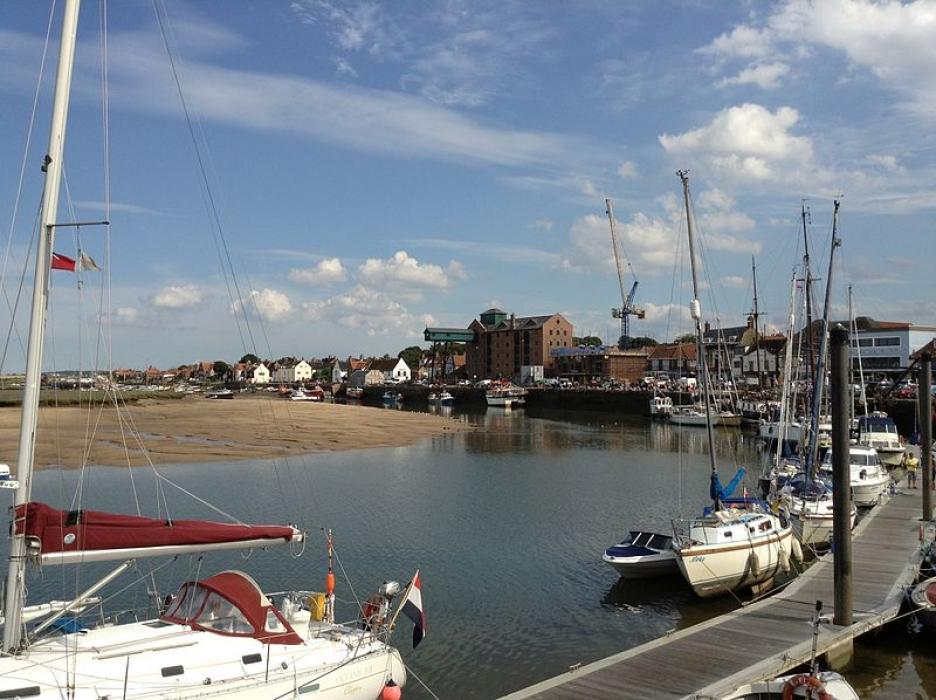


Map and nearest places
| Longitude | Latitude |
|---|---|
| 52.95 | 0.85 |
| 52°57'0"N | 0°51'0"E |
| Nearest places | ||
|---|---|---|
| Burnham Market | 8.2km | |
| Fakenham | 12.7km | |
| Hunstanton | 24.9km | |
| Cromer | 30.4km | |
| Dereham | 30.4km | |
| Aylsham | 32.5km | |
| Norwich International Airport | 42.1km | |
| Cambridge Airport | 94.6km | |
| Humberside Airport | 105.8km | |
| London Stansted Airport | 124.8km | |
| Nottingham Airport | 129.3km | |
| Robin Hood Airport Doncaster Sheffield | 136.6km | |
| John Paul II International Airport | 1,344.3km | |
| Tuuta Airport | 18,979.7km | |
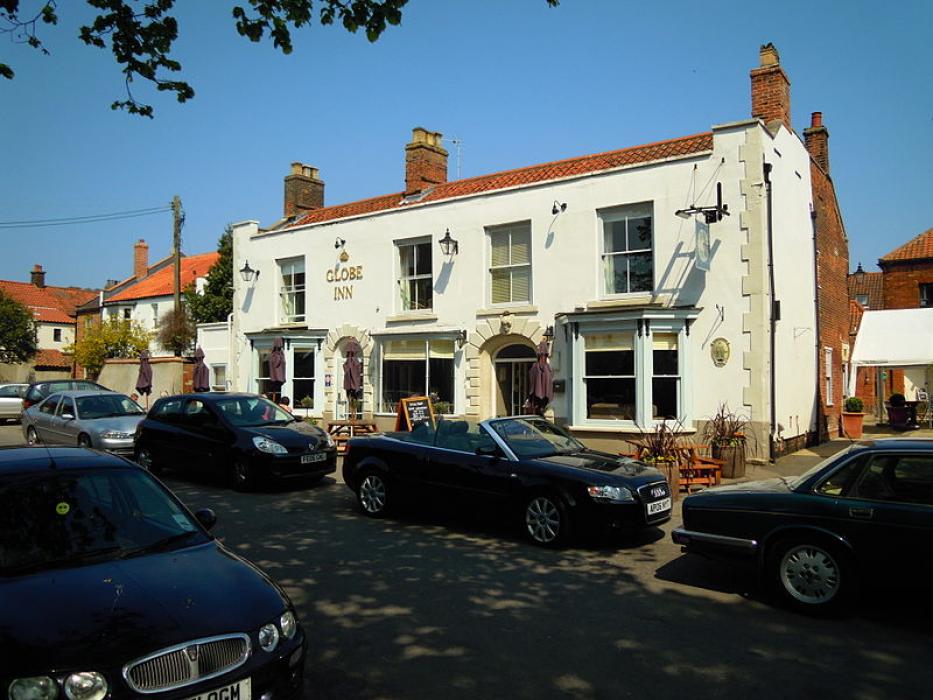
Breweries
Weblinks
Comments
You need to log in to add comment