


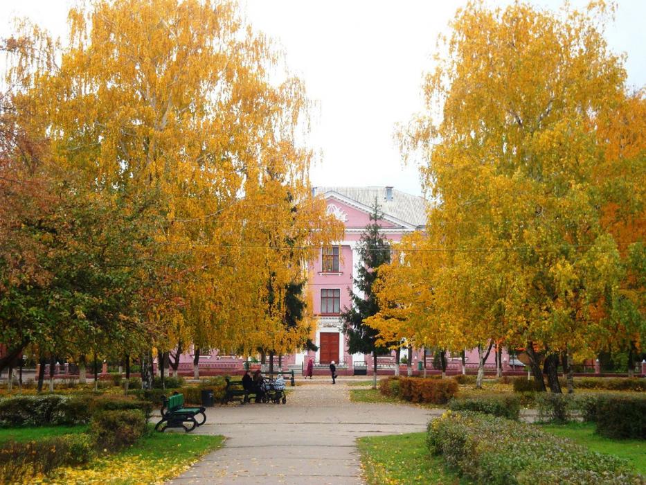
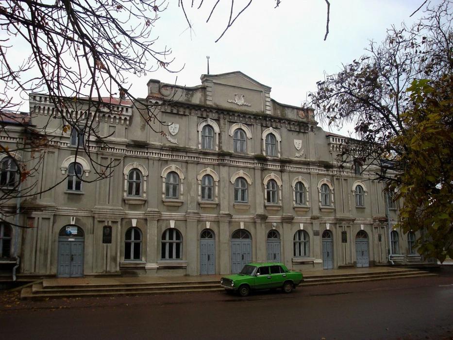
Gallery


Map and nearest places
| Longitude | Latitude |
|---|---|
| 48.666667 | 33.116667 |
| 48°40'0"N | 33°7'0"E |
| Nearest places | ||
|---|---|---|
 | Kremenchuk | 49.6km |
 | Kropyvnytskyi | 65.2km |
| Kryvyi Rih International Airport | 69.7km | |
 | Kryvyi Rih | 84.8km |
 | Cherkasy | 115.8km |
| Poltawa Airport | 136.9km | |
 | Dnipropetrovsk | 143.7km |
 | Poltava | 146.4km |
| Dnipropetrovsk International Airport | 150.1km | |
| Zaporizhzhya International Airport | 185.5km | |
| International Airport Mykolaiv | 199.9km | |
| Kherson International Airport | 226.9km | |
| John Paul II International Airport | 976.6km | |
| Tuuta Airport | 17,693.1km | |
Comments
You need to log in to add comment