


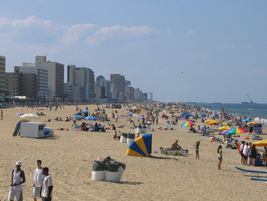

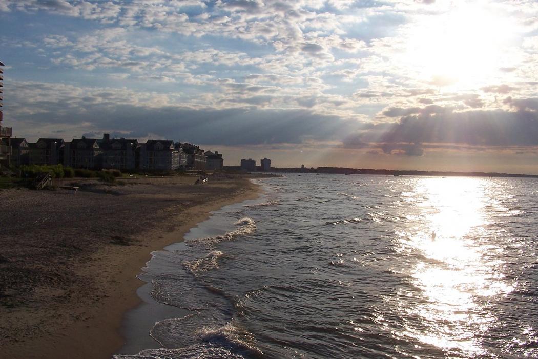


Map and nearest places
| Longitude | Latitude |
|---|---|
| 36.834444 | -76.085 |
| 36°50'0"N | 76°5'0"W |
| Nearest places | ||
|---|---|---|
| Norfolk International Airport | 12.3km | |
 | Norfolk | 13.7km |
| Chesapeake | 19.5km | |
| Hampton Roads Executive Airport | 33.0km | |
 | Hampton | 33.1km |
| Langley AFB | 36.9km | |
 | Newport News | 44.2km |
| Currituck | 44.5km | |
| Suffolk | 47.9km | |
| Currituck County Airport | 48.7km | |
| Suffolk Executive Airport | 49.1km | |
| Newport News/Williamsburg International Airport | 49.1km | |
| John Paul II International Airport | 7,335.3km | |
| Busselton Regional Airport | 18,916.6km | |
Accomodation
Restaurants
Golfs club
Wineries
Breweries
Weblinks
Comments
You need to log in to add comment