


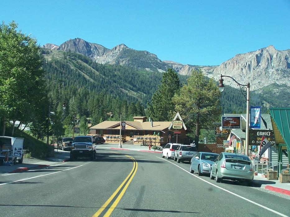
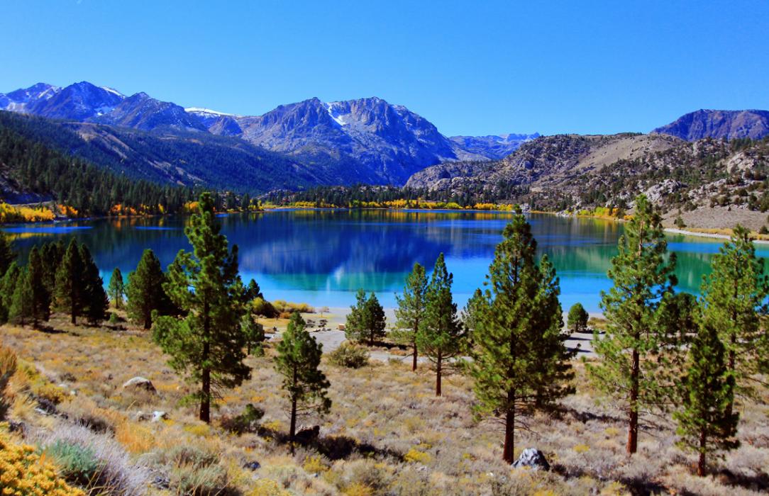
Gallery


Map and nearest places
| Longitude | Latitude |
|---|---|
| 37.779722 | -119.075556 |
| 37°46'0"N | 119°4'0"W |
| Nearest places | ||
|---|---|---|
 | Mammoth Lake | 17.2km |
| Mammoth Yosemite Airport | 27.2km | |
| Bishop | 75.8km | |
| Eastern Sierra Regional Airport | 77.3km | |
| Mariposa | 85.0km | |
| Mariposa-Yosemite Airport | 90.0km | |
| Hawthorne | 91.9km | |
| Hawthorne Industrial Airport | 93.4km | |
| Columbia | 119.7km | |
| Clovis | 119.8km | |
| Columbia Airport | 120.7km | |
| Fresno Yosemite International Airport | 125.2km | |
| John Paul II International Airport | 9,447.2km | |
| Pierrefonds Airport | 18,110.1km | |
Accomodation
Restaurants
Weblinks
Comments
You need to log in to add comment