


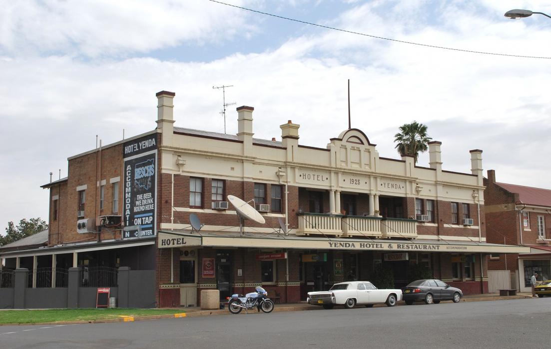
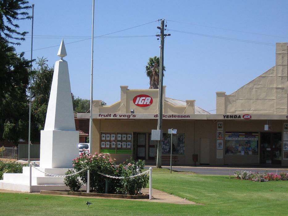
Gallery


Map and nearest places
| Longitude | Latitude |
|---|---|
| -34.25 | 146.170833 |
| 34°15'0"S | 146°10'0"E |
| Nearest places | ||
|---|---|---|
| Griffith Airport | 9.5km | |
| Griffith | 12.8km | |
| Hanwood | 15.7km | |
| Leeton | 39.4km | |
| Narrandera Airport | 59.2km | |
| Narrandera | 65.6km | |
| West Wyalong Airport | 100.2km | |
| Wagga Wagga | 145.8km | |
| Wagga Wagga Airport | 156.1km | |
| Corowa | 193.7km | |
| Albury Airport | 214.4km | |
| Parkes Airport | 228.2km | |
| John Paul II International Airport | 15,375.1km | |
| Flores Airport | 19,388.6km | |
Wineries
Weblinks
Comments
You need to log in to add comment