


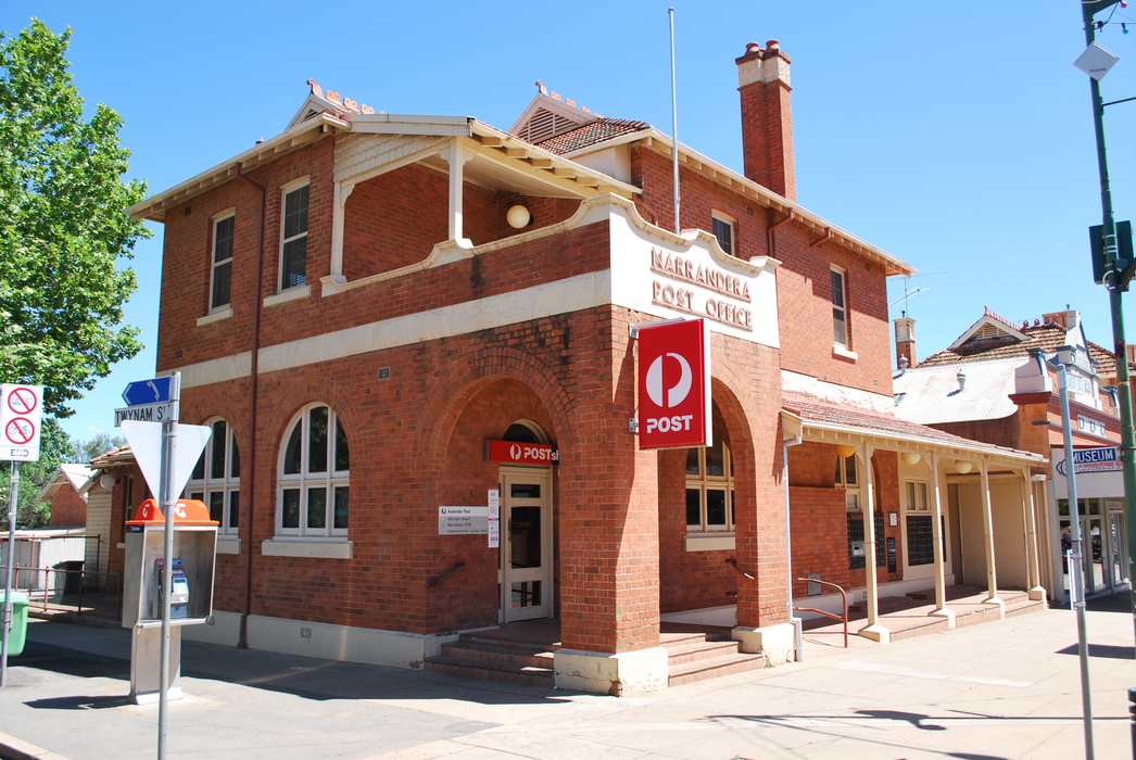
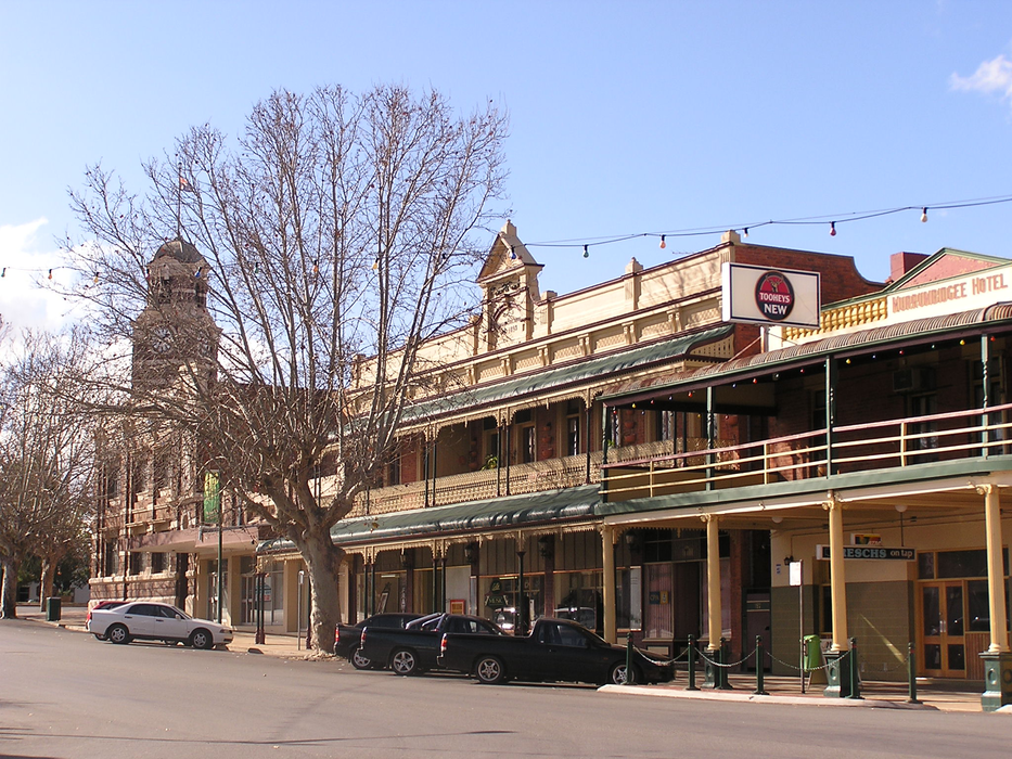


Map and nearest places
| Longitude | Latitude |
|---|---|
| -34.75 | 146.55 |
| 34°45'0"S | 146°33'0"E |
| Nearest places | ||
|---|---|---|
| Narrandera Airport | 6.3km | |
| Leeton | 26.1km | |
| Yenda | 65.6km | |
| Hanwood | 66.2km | |
| Griffith | 69.3km | |
| Griffith Airport | 71.0km | |
| Wagga Wagga | 84.6km | |
| Wagga Wagga Airport | 95.4km | |
| West Wyalong Airport | 107.9km | |
| Corowa | 138.0km | |
| Albury Airport | 151.1km | |
| Wangaratta Airport | 186.5km | |
| John Paul II International Airport | 15,437.0km | |
| Flores Airport | 19,453.0km | |

Airports
Weblinks
Comments
You need to log in to add comment