


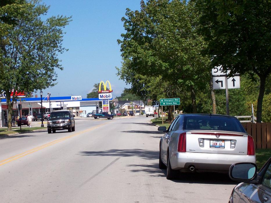
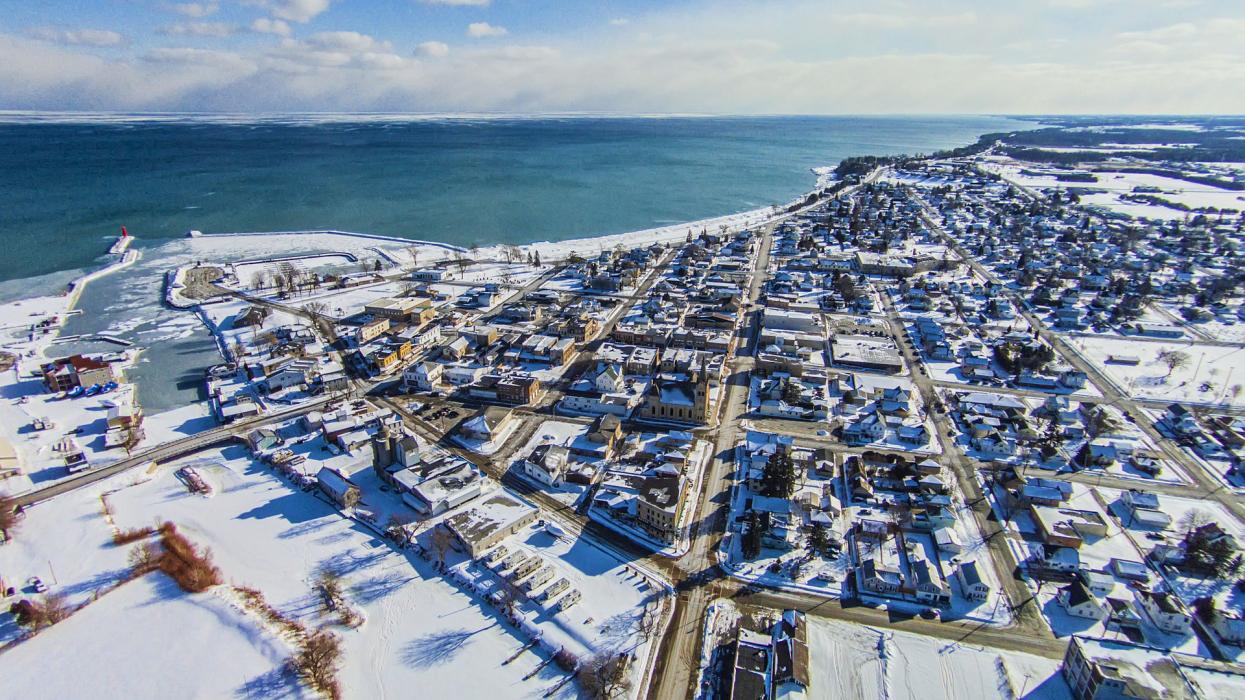
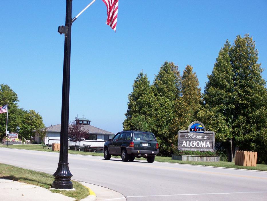
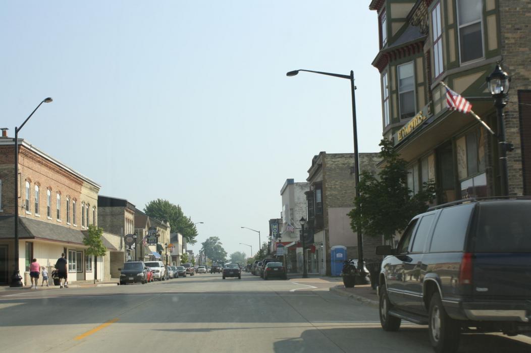


Map and nearest places
| Longitude | Latitude |
|---|---|
| 44.608333 | -87.442222 |
| 44°36'0"N | 87°26'0"W |
| Nearest places | ||
|---|---|---|
| Kewaunee | 17.5km | |
| Sturgeon Bay | 25.5km | |
| Door County Cherryland Airport | 26.2km | |
| Denmark | 42.2km | |
| Oconto | 45.4km | |
| Green Bay | 46.7km | |
| J. Douglas Bake Memorial Airport | 47.3km | |
| Egg Harbor | 50.3km | |
| Austin Straubel International Airport | 56.2km | |
| Manitowoc County Airport | 56.6km | |
| Appleton International Airport | 94.0km | |
| Frankfort Dow Memorial Field | 98.3km | |
| John Paul II International Airport | 7,363.1km | |
| Busselton Regional Airport | 17,713.9km | |
Accomodation
Restaurants
Wineries

Breweries
Weblinks
Comments
You need to log in to add comment