


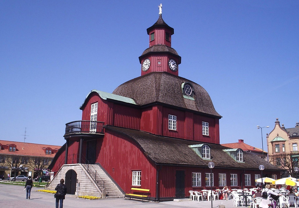
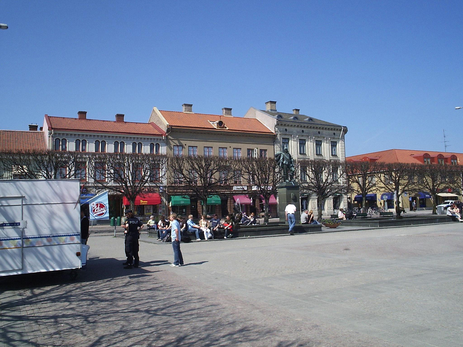
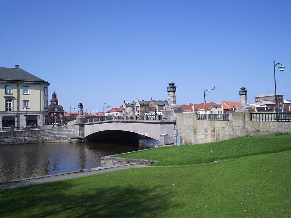


Map and nearest places
| Longitude | Latitude |
|---|---|
| 58.5 | 13.183333 |
| 58°30'0"N | 13°10'0"E |
| Nearest places | ||
|---|---|---|
| Lidk—ping Airport | 3.9km | |
 | Skovde | 40.9km |
| Mariestad | 42.9km | |
| Skovde Airport | 46.1km | |
| Vðnersborg | 52.1km | |
| Trollhattan Vanersborgs Airport | 53.1km | |
 | Trollhattan | 57.7km |
| Åmål | 67.2km | |
| Alingsås | 73.6km | |
| Jonkoping Airport | 97.6km | |
| Karlstad Airport | 105.4km | |
| Gothenburg-Landvetter Airport | 107.0km | |
| John Paul II International Airport | 1,028.7km | |
| Tuuta Airport | 18,252.8km | |
Accomodation

Restaurants
Breweries
Airports
Weblinks
Comments
You need to log in to add comment