


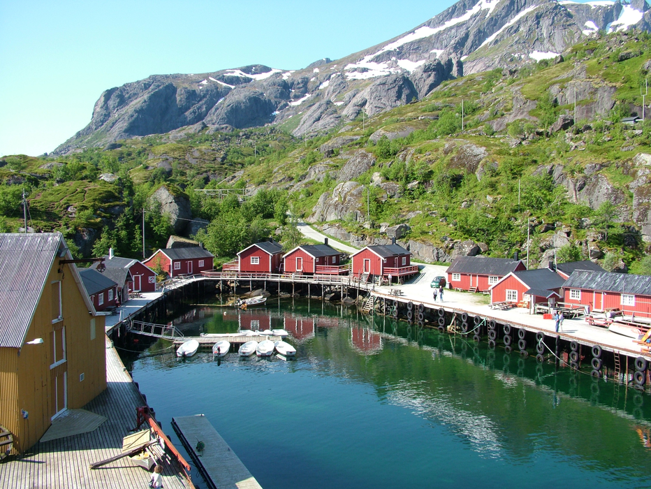
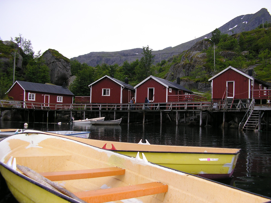
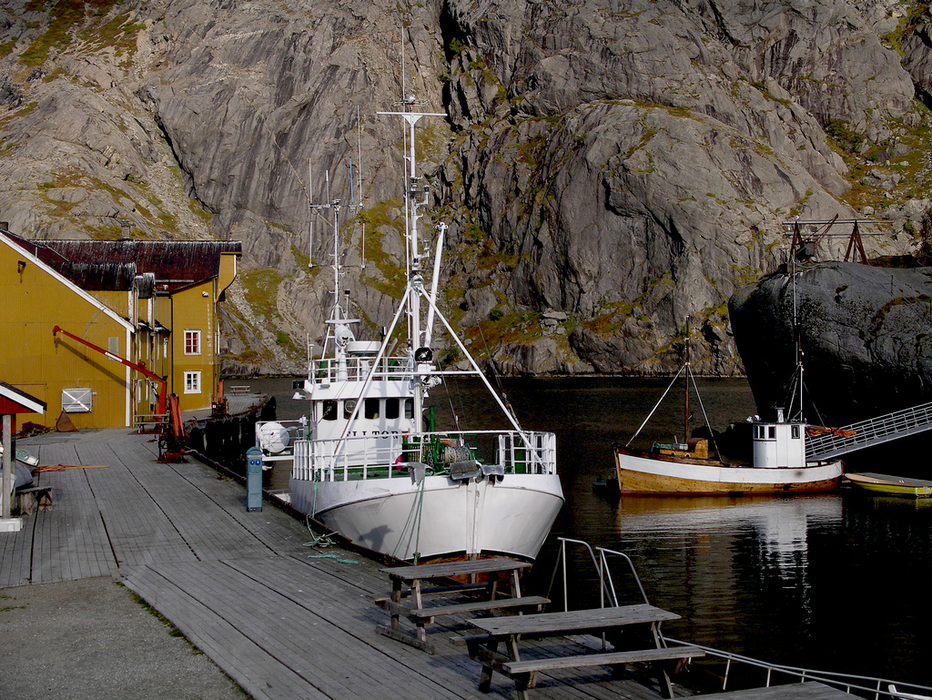
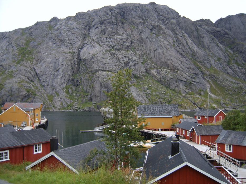
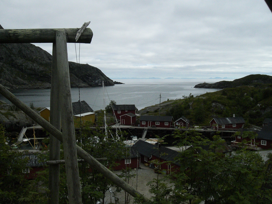
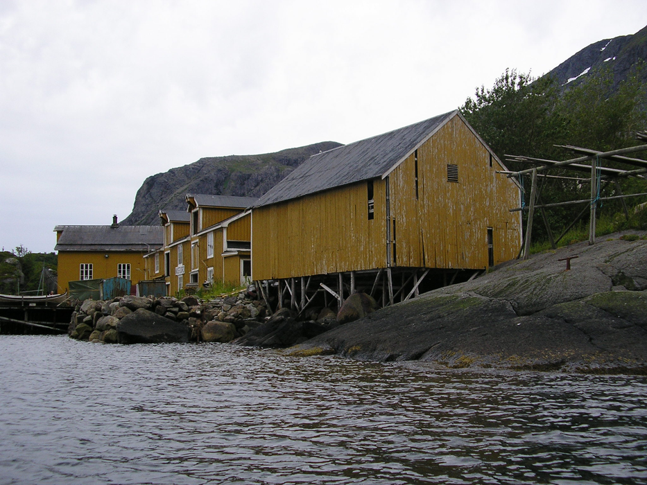
Gallery


Map and nearest places
| Longitude | Latitude |
|---|---|
| 68.035 | 13.348889 |
| 68°2'0"N | 13°20'0"E |
| Nearest places | ||
|---|---|---|
| Flakstad - Lofoten Islands | 5.8km | |
| Ballstad - Lofoten Island | 9.0km | |
| Reine - Lofoten islands | 15.6km | |
| Leknes | 16.6km | |
| Leknes Airport | 17.0km | |
| Sřrvĺgen - Lofoten Islands | 21.4km | |
| Stamsund - Lofoten Island | 23.5km | |
| Vaeroy Heliport | 49.6km | |
| Svolvar Airport | 59.4km | |
| Rost Airport | 78.0km | |
| Stokmarknes Airport | 91.8km | |
| Bodo Airport | 95.4km | |
| John Paul II International Airport | 2,027.8km | |
| Stewart Island Airport | 17,265.7km | |
Weblinks
Comments
You need to log in to add comment