


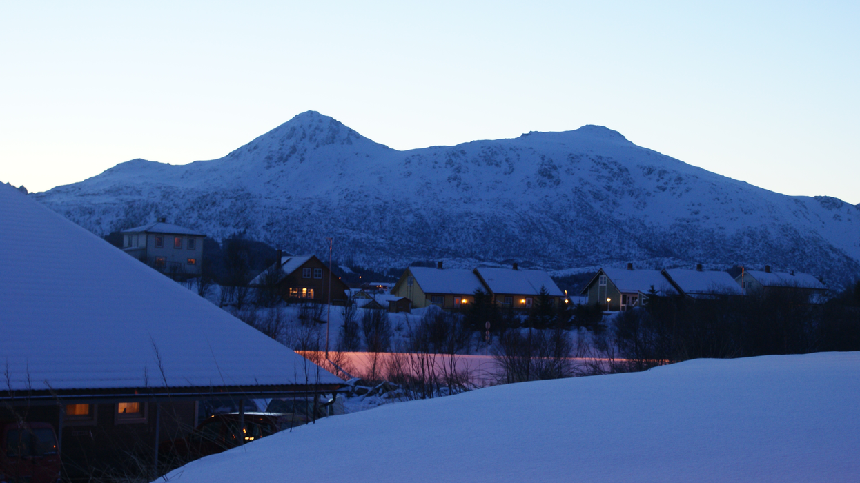
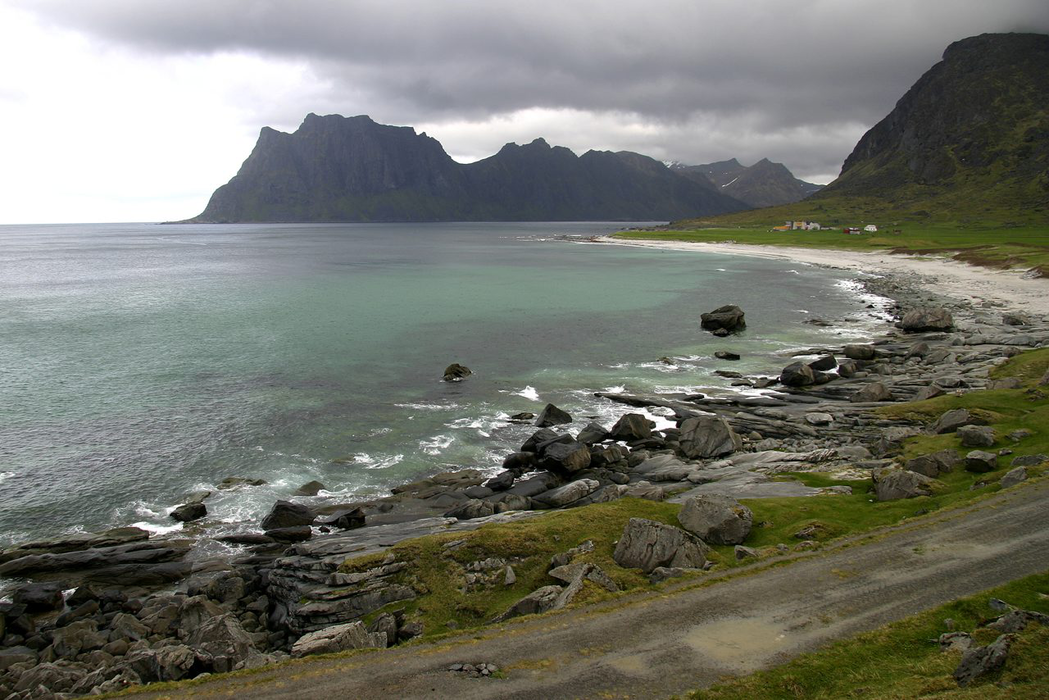
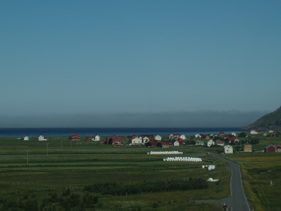


Map and nearest places
| Longitude | Latitude |
|---|---|
| 68.147222 | 13.611389 |
| 68°8'0"N | 13°36'0"E |
| Nearest places | ||
|---|---|---|
| Leknes Airport | 0.6km | |
| Ballstad - Lofoten Island | 8.6km | |
| Stamsund - Lofoten Island | 10.0km | |
| Flakstad - Lofoten Islands | 15.9km | |
| Nusfjord - Lofoten Islands | 16.6km | |
| Henningsv�r - Lofoten Islands | 24.5km | |
| Reine - Lofoten islands | 32.2km | |
| Svolvar Airport | 45.0km | |
| Vaeroy Heliport | 66.1km | |
| Stokmarknes Airport | 75.4km | |
| Rost Airport | 94.5km | |
| Bodo Airport | 102.7km | |
| John Paul II International Airport | 2,037.5km | |
| Stewart Island Airport | 17,249.1km | |
Airports

Weblinks
Comments
You need to log in to add comment