


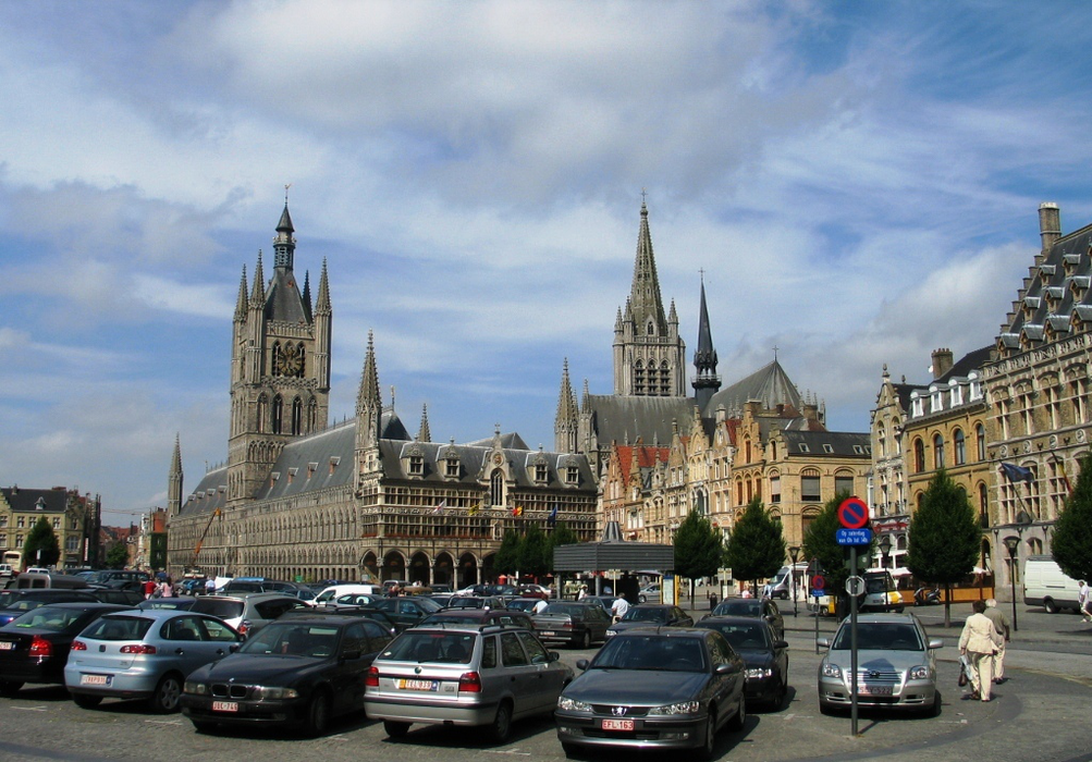
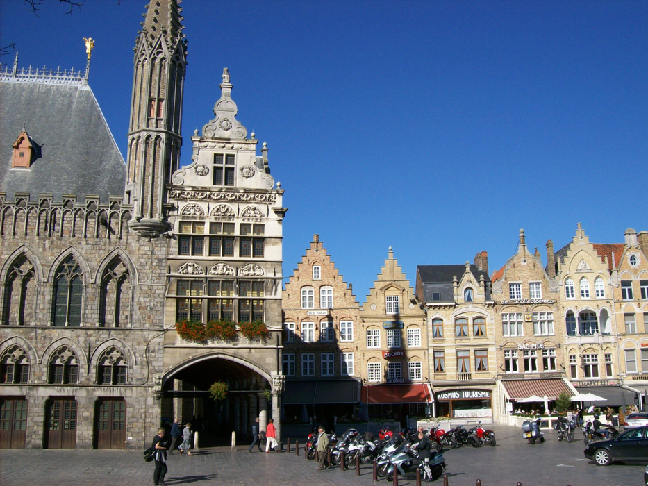
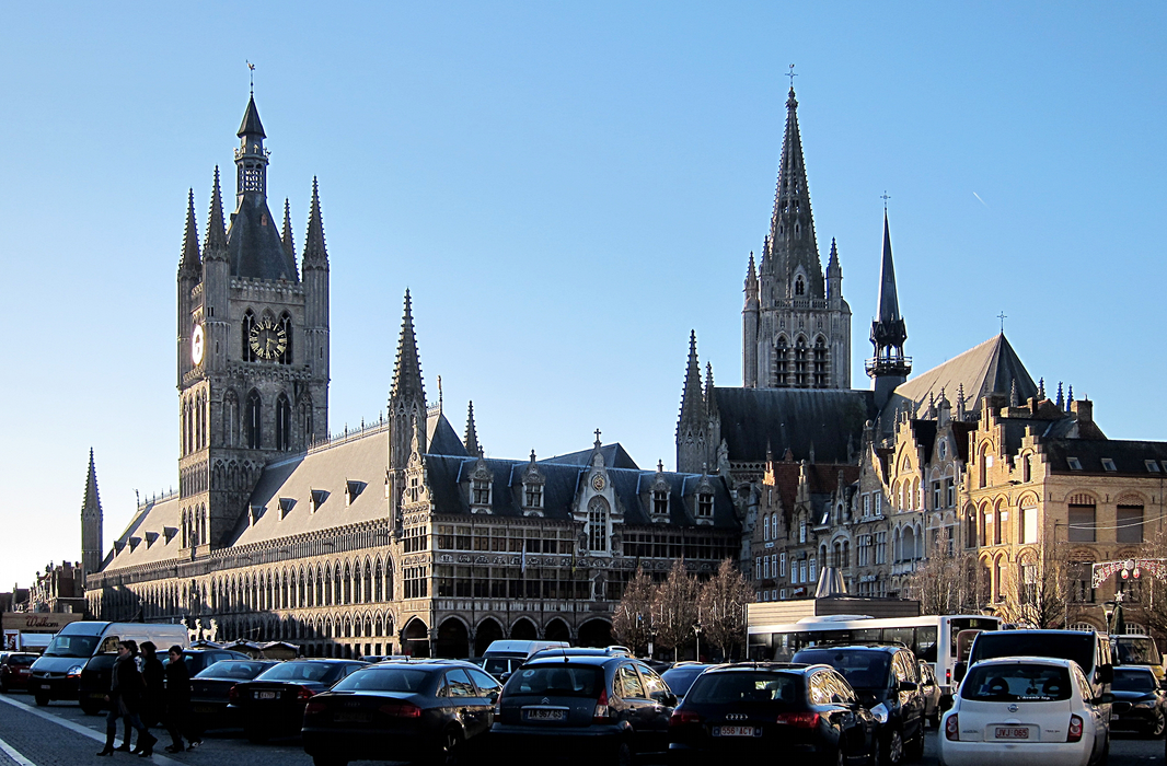


Map and nearest places
| Longitude | Latitude |
|---|---|
| 50.85 | 2.8833333333333298 |
| 50°51'0"N | 2°52'0"E |
| Nearest places | ||
|---|---|---|
| Heuvelland | 10.4km | |
 | Poperinge | 10.5km |
 | Roeselare | 18.8km |
 | Diksmuide | 20.4km |
 | Wevelgen | 21.4km |
| Flanders International Airport | 22.9km | |
.svg_1156853173_16.png) | Tourcoing | 24.1km |
| Merville Airport | 31.1km | |
| Lille Lesquin International Airport | 35.2km | |
| Ostend-Bruges International Airport | 38.9km | |
| A�roport de Arras - Roclincourt | 58.7km | |
| Calais-Dunkerque Airport | 66.5km | |
| John Paul II International Airport | 1,196.8km | |
| Tuuta Airport | 19,230.7km | |
Accomodation

Restaurants
Museums
Breweries
Weblinks
Comments
You need to log in to add comment