


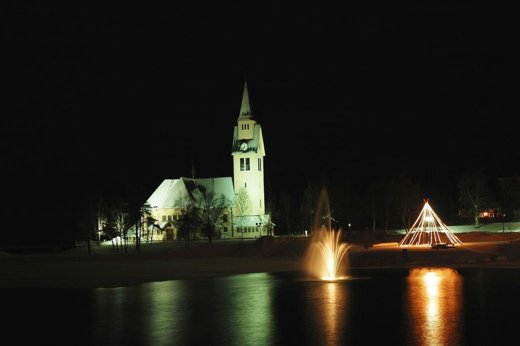
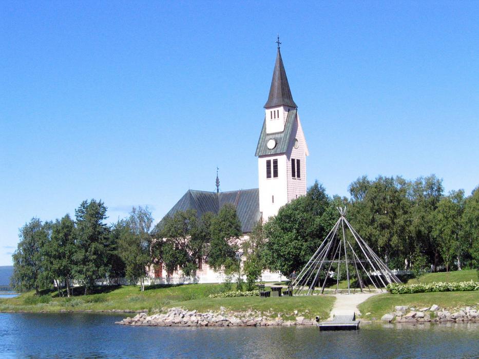
Gallery


Map and nearest places
| Longitude | Latitude |
|---|---|
| 66.05 | 17.8833333333333 |
| 66°2'0"N | 17°52'0"E |
| Nearest places | ||
|---|---|---|
| Sorsele | 59.6km | |
 | Arvidsjaur | 78.2km |
| Arvidsjaur Airport | 81.7km | |
| Kvikkjokk | 100.3km | |
 | Mala | 104.3km |
 | Jokkmokk | 107.4km |
 | Storuman | 111.6km |
| Storuman Airport | 121.4km | |
| Hemavan Airport | 129.9km | |
| Älvsbyn Airport | 151.4km | |
| Mo i Rana Airport | 164.4km | |
| Vilhelmina Airport | 170.7km | |
| John Paul II International Airport | 1,779.3km | |
| Tuuta Airport | 17,392.7km | |
Accomodation
Restaurants
Weblinks
Comments
You need to log in to add comment