


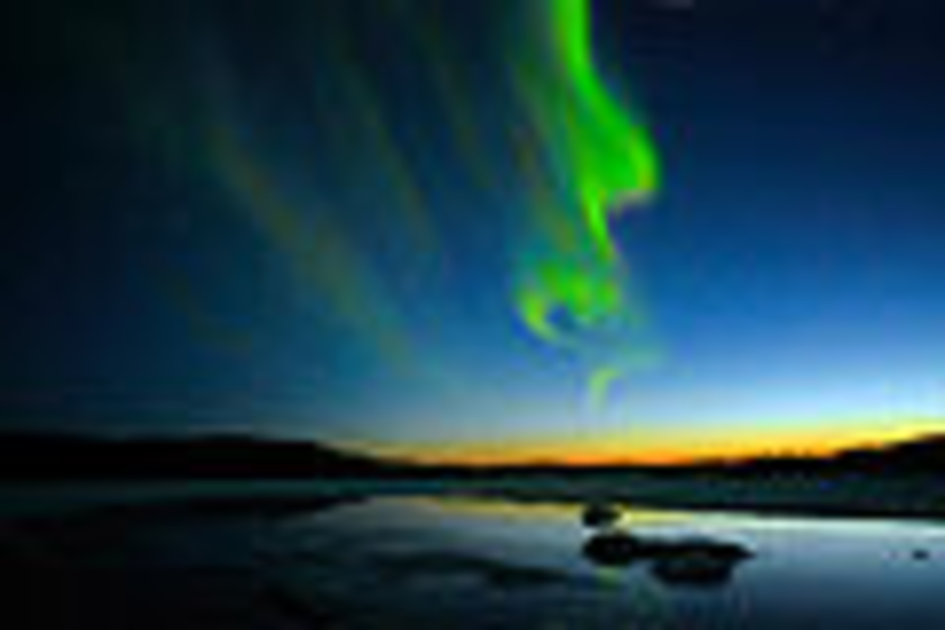
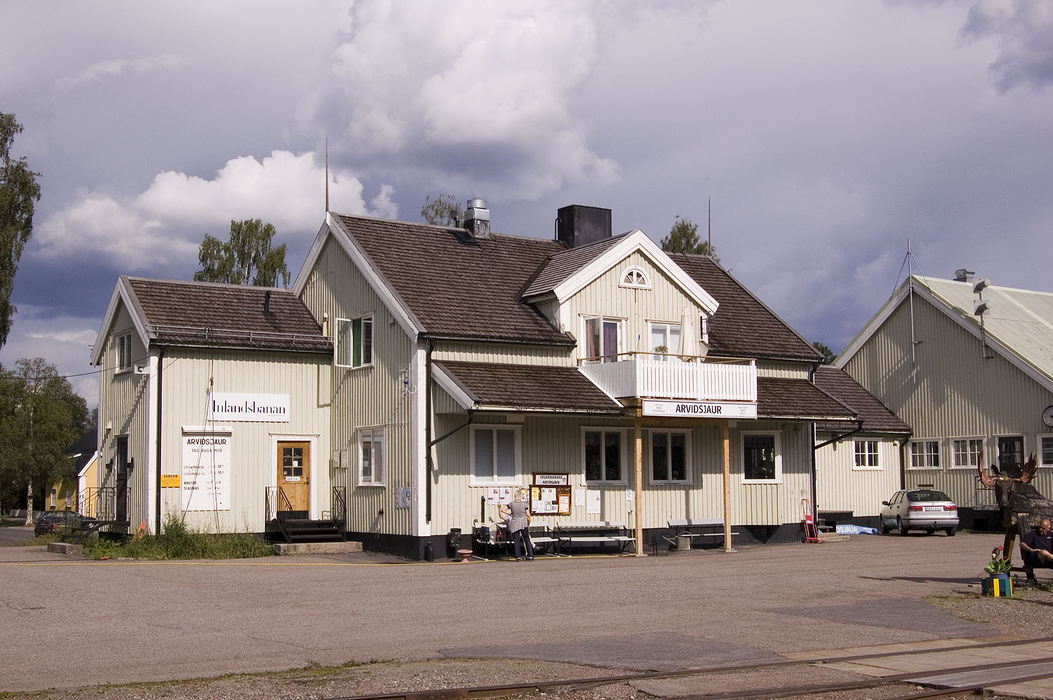
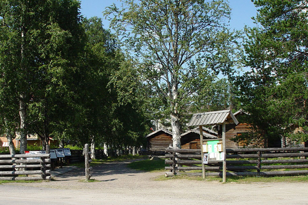
Gallery


Map and nearest places
| Longitude | Latitude |
|---|---|
| 65.5833333333333 | 19.1666666666667 |
| 65°34'0"N | 19°10'0"E |
| Nearest places | ||
|---|---|---|
| Arvidsjaur Airport | 5.4km | |
 | Mala | 48.5km |
| Sorsele | 75.4km | |
 | Arjeplog | 78.2km |
| �lvsbyn | 85.6km | |
| �lvsbyn Airport | 87.2km | |
| Storuman Airport | 97.3km | |
 | Storuman | 109.9km |
 | Piteå | 111.3km |
| Lycksele Airport | 117.1km | |
| Lulea Airport | 136.1km | |
| Skelleftea Airport | 139.1km | |
| John Paul II International Airport | 1,724.5km | |
| Tuuta Airport | 17,411.2km | |
Accomodation
Airports

Weblinks
Comments
You need to log in to add comment