


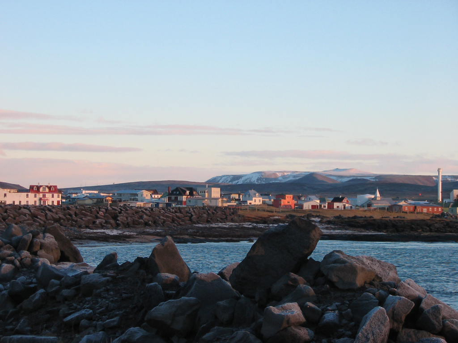


Map and nearest places
| Longitude | Latitude |
|---|---|
| 63.8333333333333 | -22.433333333333298 |
| 63°49'0"N | 22°25'0"W |
| Nearest places | ||
|---|---|---|
| Kelfavik | 17.3km | |
| Keflavik International Airport | 18.9km | |
 | K�pavogur | 40.2km |
| Reykjavik Airport | 40.8km | |
 | Reykjavik | 41.3km |
| Mosfellsbær | 51.1km | |
| Selfoss | 71.2km | |
| Borgarnes | 81.8km | |
| Vestmannaeyjar Airport | 115.7km | |
| Stykkisholmur Airport | 137.3km | |
| Reykholar Airport | 180.0km | |
| Patreksfjordur Airport | 204.9km | |
| John Paul II International Airport | 2,903.9km | |
| Stewart Island Airport | 18,024.1km | |
Accomodation
Restaurants
Weblinks
Comments
You need to log in to add comment