


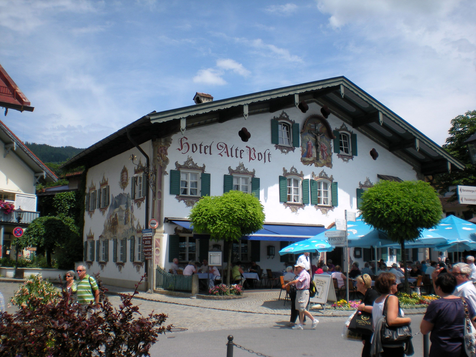
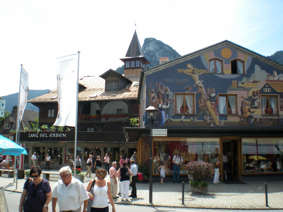
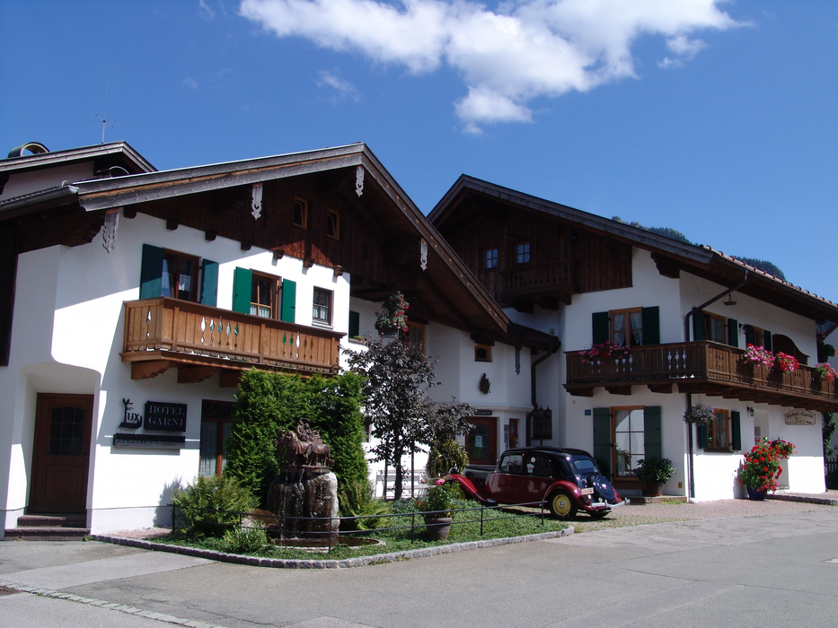
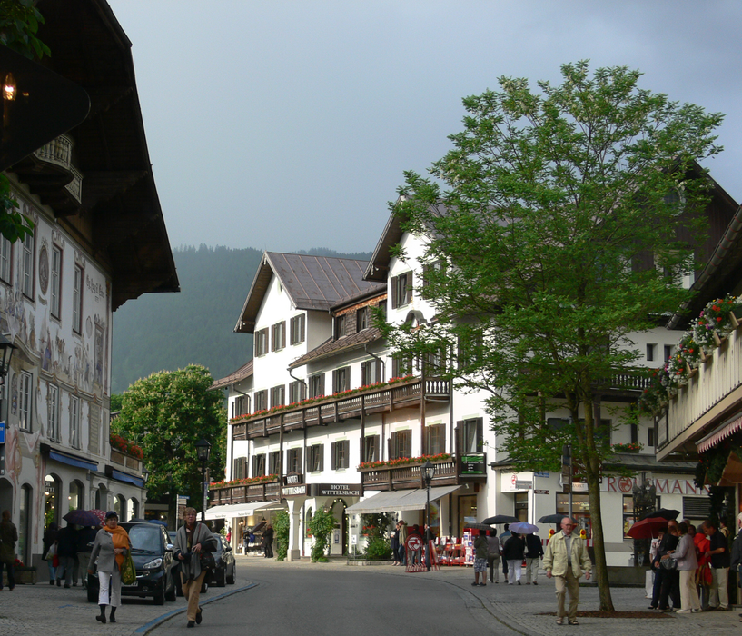
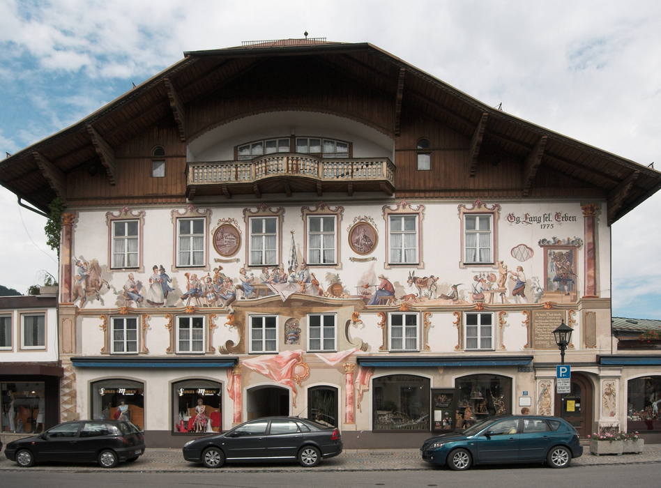
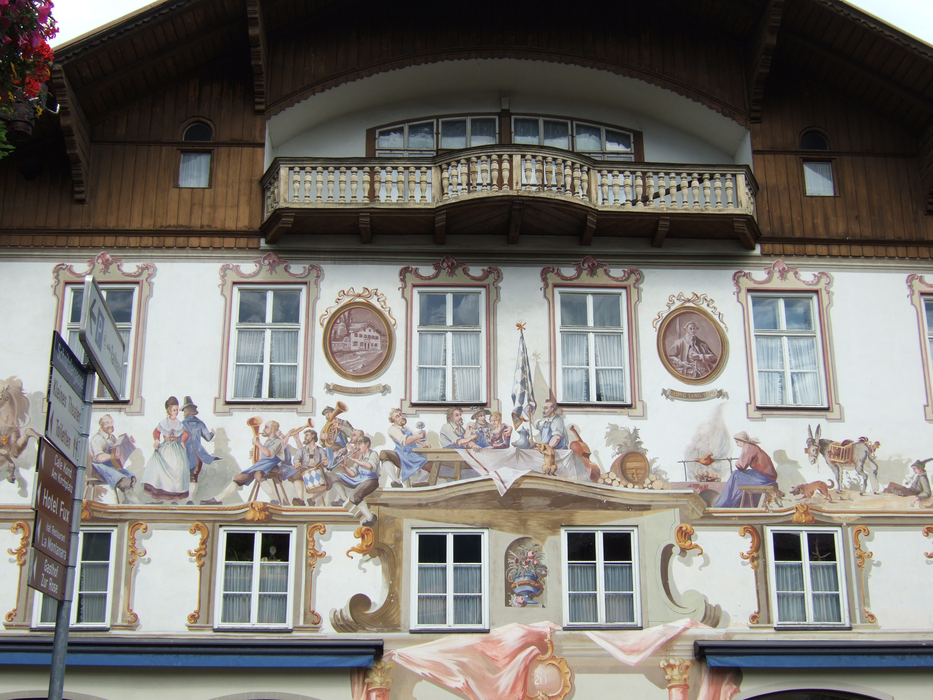
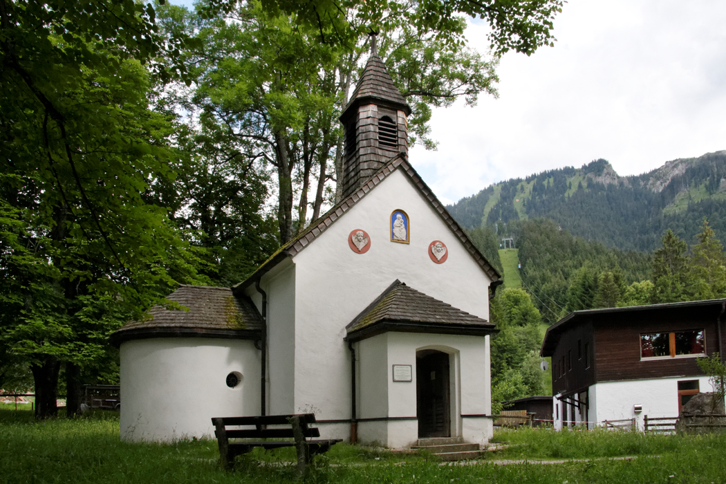
Gallery


Map and nearest places
| Longitude | Latitude |
|---|---|
| 47.6 | 11.066666666666698 |
| 47°36'0"N | 11°4'0"E |
| Nearest places | ||
|---|---|---|
 | Ettal | 4.5km |
 | Oberau | 6.2km |
 | Farchant | 8.3km |
 | Garmisch-Partenkirchen | 11.4km |
 | Murnau am Staffelsee | 12.4km |
 | Ohlstadt | 13.0km |
| Reutte Airport | 31.2km | |
| Innsbruck Kranebitten Airport | 43.1km | |
| Memmingen Airport | 75.4km | |
| Augsburg Airport | 92.4km | |
| Franz Josef Straus International Airport | 99.6km | |
| Hohenems-Dornbirn Airport | 105.4km | |
| John Paul II International Airport | 694.4km | |
| Tuuta Airport | 19,295.2km | |
Weblinks
Comments
You need to log in to add comment