


.svg_359670554_64.png)
_halle_1373372094_700.jpg)
_se_853805576_700.jpg)


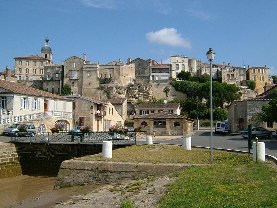
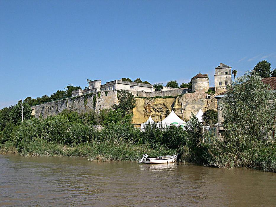
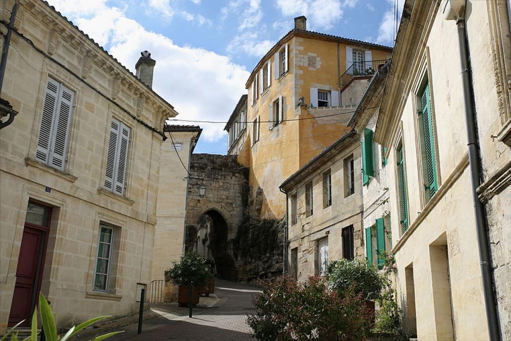
Map and nearest places
| Longitude | Latitude |
|---|---|
| 45.0408333333333 | -0.556111111111111 |
| 45°2'0"N | 0°33'0"W |
| Nearest places | ||
|---|---|---|
 | Bordeaux | 22.7km |
| Bordeaux/Merignac Airport | 26.8km | |
 | Saint-Emilion | 35.6km |
 | Lacanau | 41.6km |
 | Jonzac | 46.1km |
 | Chalais | 53.4km |
 | Lčge-Cap-Ferret | 53.9km |
| Medis Airport | 73.4km | |
| Bergerac-Roumaniere Airport | 87.9km | |
| Angouleme - Brie - Champniers Airport | 97.6km | |
| St Agnant Airport | 100.0km | |
| Airport Perigueux-Bassillac | 109.0km | |
| John Paul II International Airport | 1,619.6km | |
| Tuuta Airport | 19,662.0km | |
Weblinks
Comments
You need to log in to add comment