


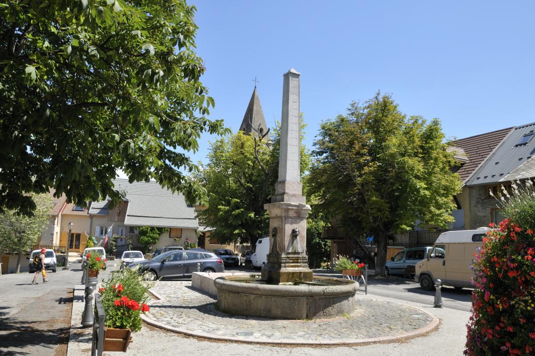
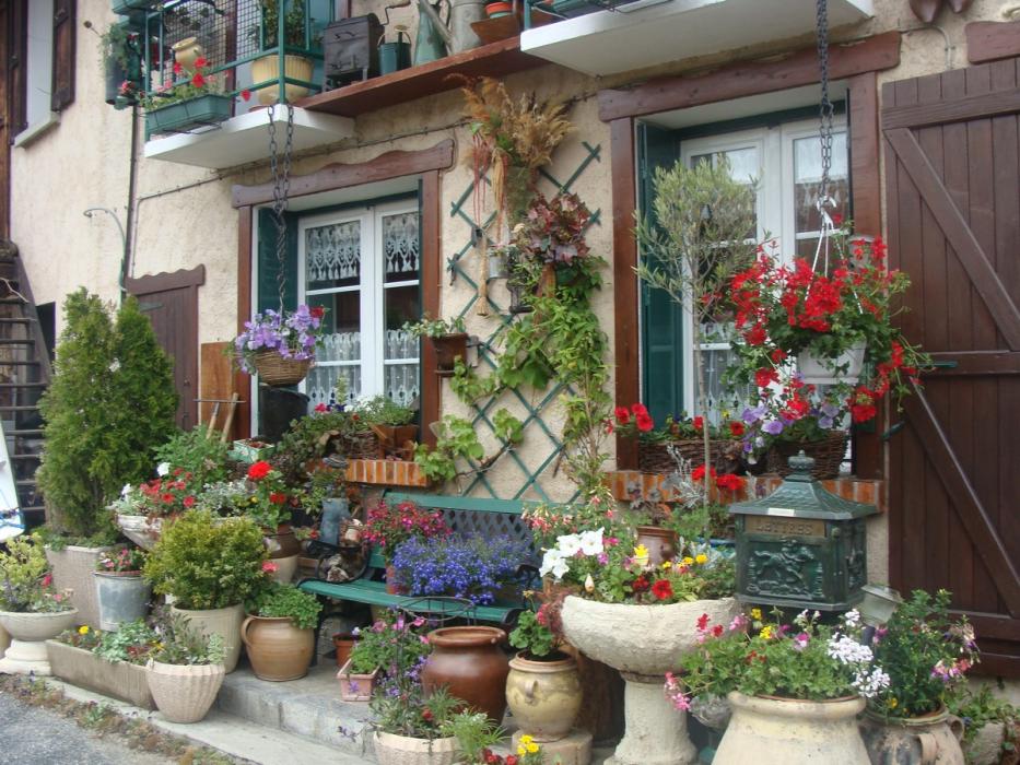
Gallery


Map and nearest places
| Longitude | Latitude |
|---|---|
| 44.5463888888889 | 6.27722222222222 |
| 44°32'0"N | 6°16'0"E |
| Nearest places | ||
|---|---|---|
 | Espinasses | 9.7km |
| Seyne les Alpes | 22.6km | |
| Aéroport de Saint-Crepin | 30.9km | |
 | Barcelonnette | 34.7km |
.svg_1315976180_16.png) | Allos | 44.0km |
| Serres | 46.4km | |
 | Sisteron | 47.4km |
| Aérodrome Château-Arnoux - Saint-Auban | 58.7km | |
| Le Versoud Aerodrome | 82.0km | |
| Courchevel Airport | 98.6km | |
| Cuneo Levaldigi Airport | 106.7km | |
| Aéroport de Valence - Chabeuil | 111.2km | |
| John Paul II International Airport | 1,187.0km | |
| Tuuta Airport | 19,782.2km | |
Accomodation
Weblinks
Comments
You need to log in to add comment