


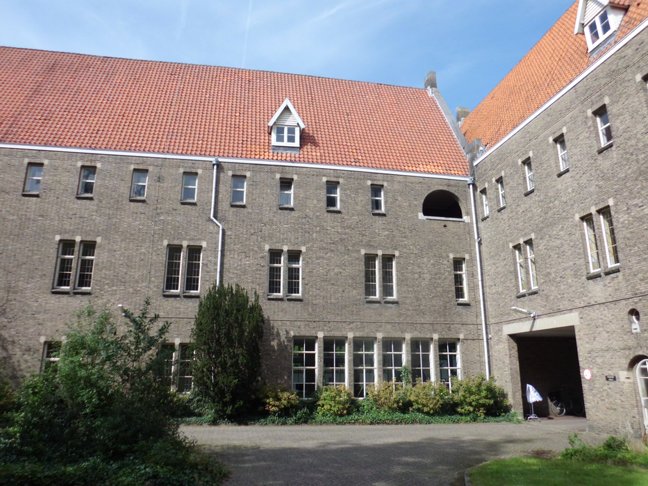
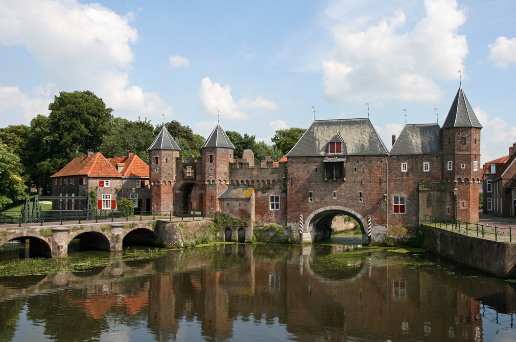
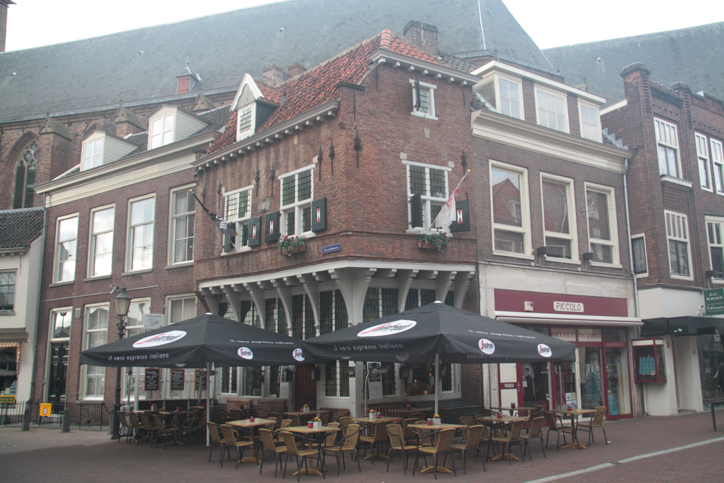
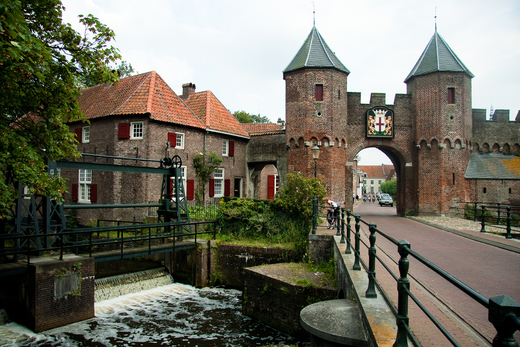
Gallery


Map and nearest places
| Longitude | Latitude |
|---|---|
| 52.15 | 5.383333 |
| 52°8'0"N | 5°22'0"E |
| Nearest places | ||
|---|---|---|
 | Barneveld | 13.8km |
| Langbroek | 15.8km | |
 | Hilversun | 16.5km |
 | Utrecht | 19.1km |
 | Ede | 23.3km |
| Zeewolde | 23.3km | |
| Lelystad Airport | 35.9km | |
| Amsterdam Airport Schiphol | 45.7km | |
| Teuge Airport | 46.4km | |
| Rotterdam Airport | 68.2km | |
| Eindhoven Airport | 79.7km | |
| Weeze Airport | 80.1km | |
| John Paul II International Airport | 1,029.5km | |
| Tuuta Airport | 19,077.7km | |
Accomodation

Restaurants
Breweries
Weblinks
Comments
You need to log in to add comment