


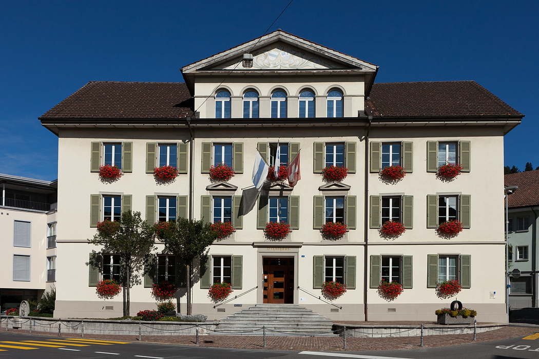
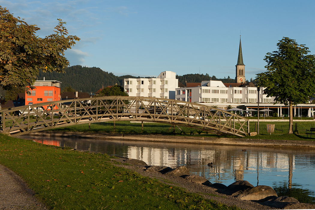
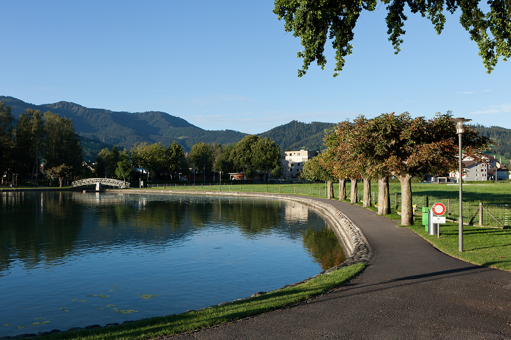
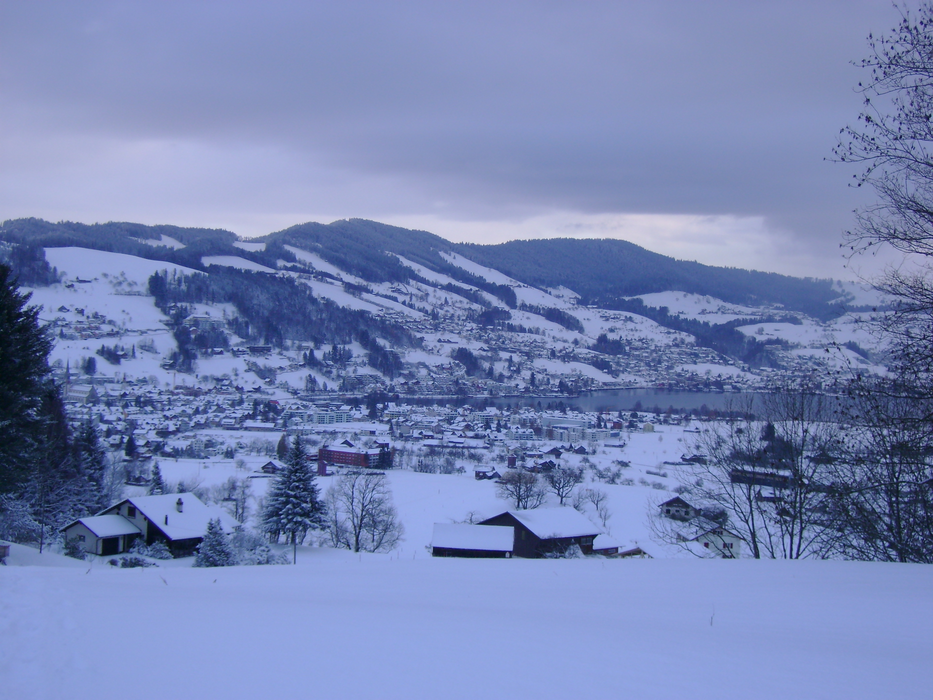


Map and nearest places
| Longitude | Latitude |
|---|---|
| 47.1388888888889 | 8.58472222222222 |
| 47°8'0"N | 8°35'0"E |
| Nearest places | ||
|---|---|---|
 | Oberaegeri | 2.2km |
 | Menzingen | 4.7km |
 | Zug | 6.0km |
| Baar | 8.5km | |
| Arth | 9.7km | |
| Cham | 10.5km | |
| Buttwil Airport | 25.5km | |
| Luzern Airport | 29.3km | |
| Zurich Airport | 36.3km | |
| Birrfeld Airfield | 43.0km | |
| Lommis Airport | 53.2km | |
| Fricktal-Schupfart Airport | 63.1km | |
| John Paul II International Airport | 884.8km | |
| Tuuta Airport | 19,475.3km | |
Comments
You need to log in to add comment