


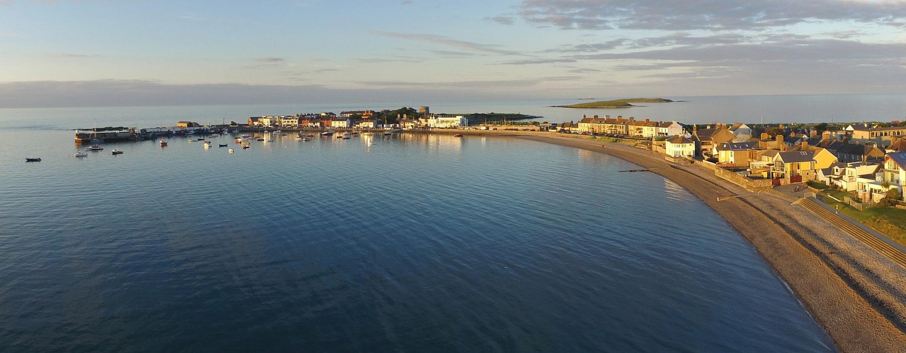
Gallery


Map and nearest places
| Longitude | Latitude |
|---|---|
| 53.5666666666667 | -6.1 |
| 53°34'0"N | 6°5'0"W |
| Nearest places | ||
|---|---|---|
| Portmarnock | 16.3km | |
| Dublin Airport | 19.7km | |
| Howth | 20.4km | |
 | Drogheda | 22.2km |
 | Dublin | 26.5km |
| Dun Laoghaire | 29.8km | |
| Leixlip | 34.1km | |
| Weston Airport | 35.2km | |
| Anglesey Airport | 109.6km | |
| Isle of Man Airport | 112.6km | |
| George Best Belfast City | 117.8km | |
| Belfast International Airport | 121.5km | |
| John Paul II International Airport | 1,810.1km | |
| Stewart Island Airport | 19,167.4km | |
Accomodation
Restaurants
Weblinks
Comments
You need to log in to add comment