


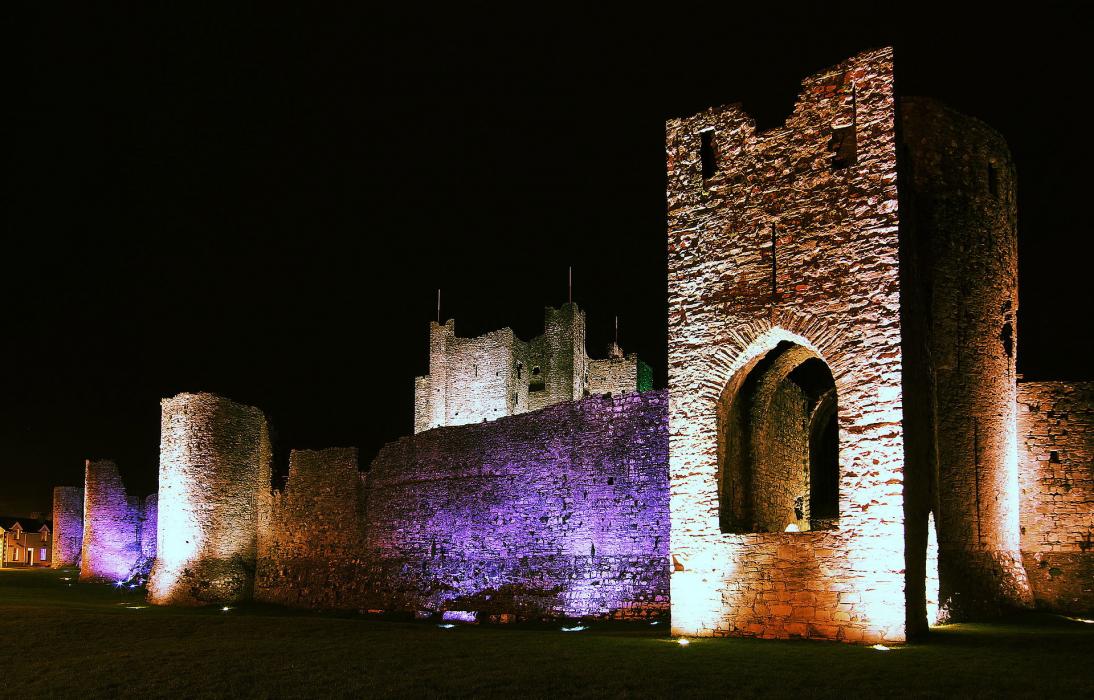
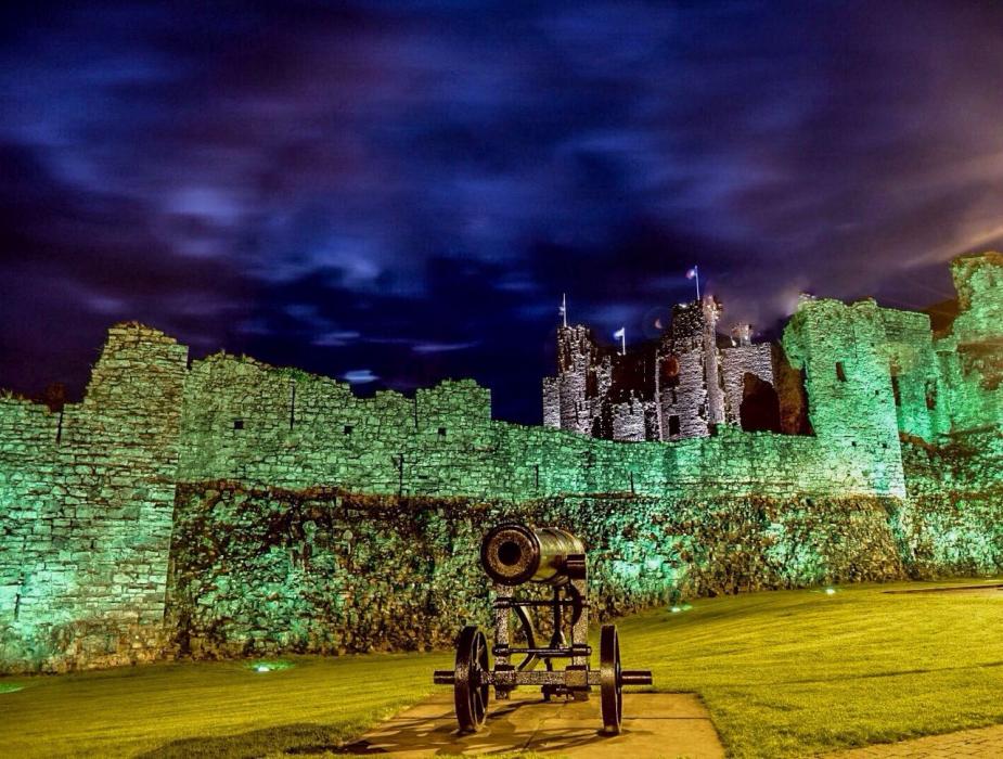
Gallery


Map and nearest places
| Longitude | Latitude |
|---|---|
| 53.5522222222222 | -6.79333333333333 |
| 53°33'0"N | 6°47'0"W |
| Nearest places | ||
|---|---|---|
| Maynooth | 22.8km | |
| Leixlip | 29.2km | |
| Celbridge | 29.8km | |
| Weston Airport | 30.2km | |
 | Drogheda | 33.5km |
| Mullingar | 36.1km | |
| Dublin Airport | 37.6km | |
| Naas | 38.3km | |
| Enniskillen/St Angelo Airport | 109.6km | |
| Belfast International Airport | 128.5km | |
| George Best Belfast City | 132.9km | |
| Ireland West Airport Knock | 139.0km | |
| John Paul II International Airport | 1,855.8km | |
| Stewart Island Airport | 19,191.5km | |

Restaurants
Golfs club
Breweries
Weblinks
Comments
You need to log in to add comment