


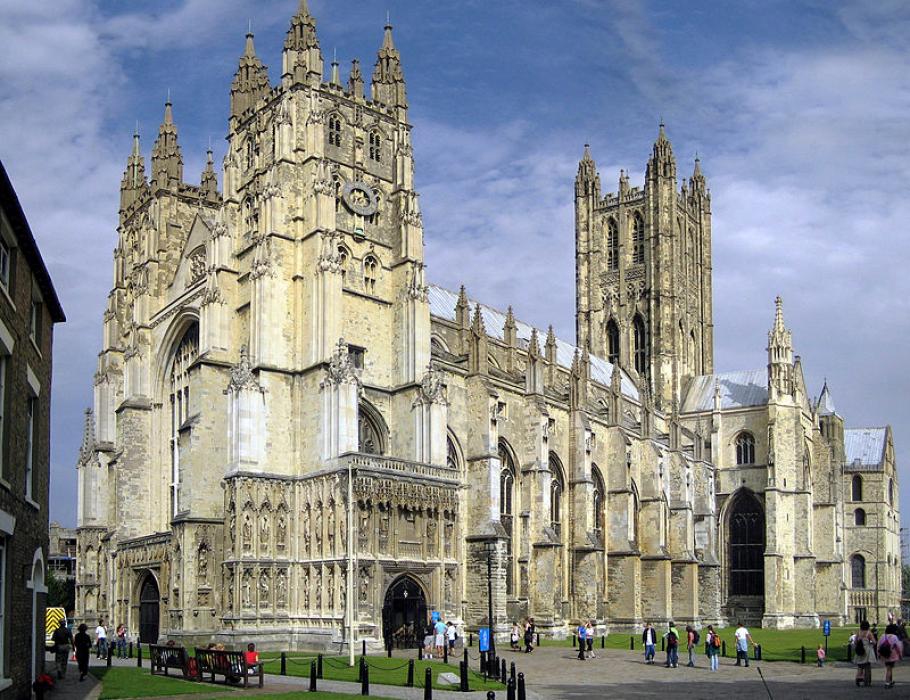


Map and nearest places
| Longitude | Latitude |
|---|---|
| 51.2761111111111 | 1.07638888888889 |
| 51°16'0"N | 1°4'0"E |
| Nearest places | ||
|---|---|---|
| Ashford | 19.9km | |
| Kent International Airport | 20.1km | |
| Hythe | 22.5km | |
| Folkestone | 22.6km | |
| Dover | 23.1km | |
| Ramsgate | 24.0km | |
| Broadstairs | 25.6km | |
| Lydd - London Ashford Airport | 36.8km | |
| London Southend Airport | 42.1km | |
| Calais-Dunkerque Airport | 70.4km | |
| London Biggin Hill Airport | 72.8km | |
| London City Airport | 75.4km | |
| John Paul II International Airport | 1,321.3km | |
| Tuuta Airport | 19,164.6km | |
Accomodation
Restaurants
Golfs club
Breweries
Weblinks
Comments
You need to log in to add comment