


Gallery


Map and nearest places
| Longitude | Latitude |
|---|---|
| 49.15277777777779 | -121.938888888889 |
| 49°9'0"N | 121°56'0"W |
| Nearest places | ||
|---|---|---|
 | Chilliwack | 2.2km |
| Cultus Lake | 11.6km | |
| Harrison Hot Springs | 16.4km | |
| Mission | 27.2km | |
 | Abbotsford | 29.8km |
| Abbotsford International Airport | 33.8km | |
| Lynden | 44.2km | |
| Fort Langley Airport | 44.8km | |
| Langley Regional Airport | 50.7km | |
| Pitt Meadows Airport | 56.7km | |
| Bellingham International Airport | 59.3km | |
| Boundary Bay Airport | 78.3km | |
| John Paul II International Airport | 8,393.5km | |
| Tolagnaro Airport | 17,165.6km | |
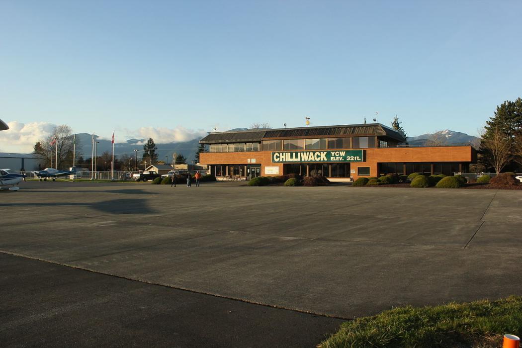
General informations
| Airport type | Local airport |
| ICAO | CYCW |
| IATA | YCW |
| Elevation | 32 ft / 10 m MSL |
Weblinks
Comments
You need to log in to add comment