


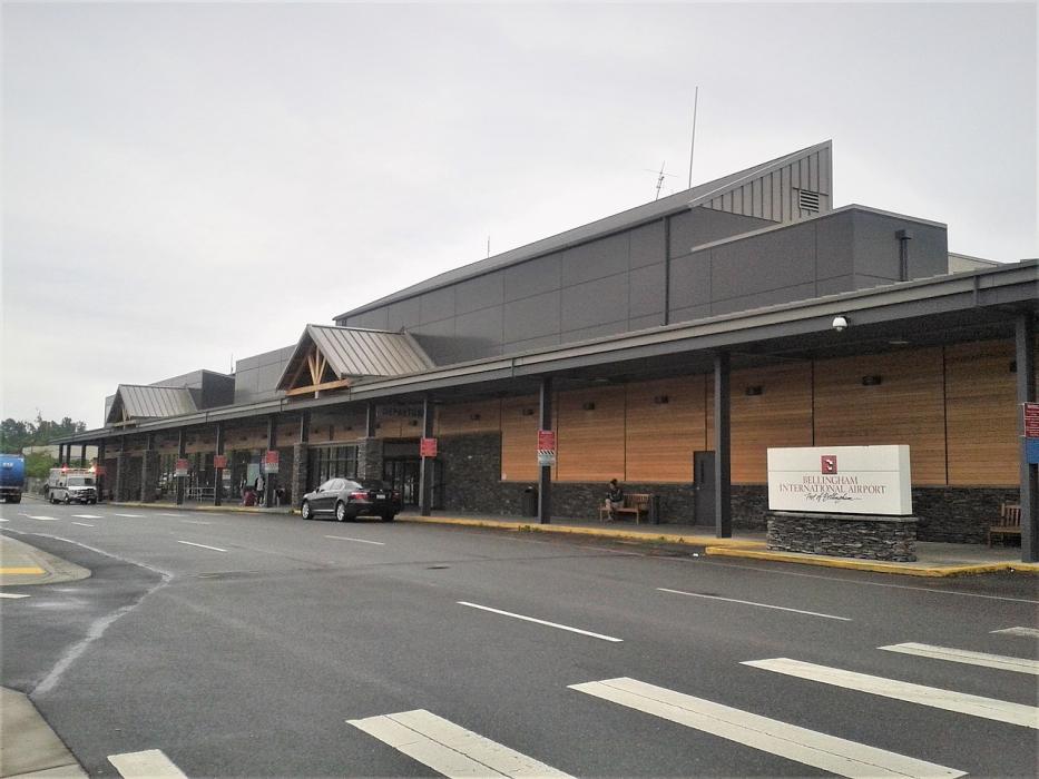
Gallery


Map and nearest places
| Longitude | Latitude |
|---|---|
| 48.7925 | -122.5375 |
| 48°47'0"N | 122°32'0"W |
| Nearest places | ||
|---|---|---|
| Bellingham | 6.6km | |
| Lynden | 18.1km | |
| Orcas Island Airport | 28.9km | |
| Eastsound | 28.9km | |
| Abbotsford International Airport | 28.9km | |
 | Abbotsford | 32.9km |
| Anacortes | 32.9km | |
| Anacortes Airport | 33.9km | |
| Langley Regional Airport | 35.0km | |
| Langley | 35.7km | |
| Skagit Regional Airport | 36.8km | |
| Fort Langley Airport | 41.7km | |
| John Paul II International Airport | 8,447.9km | |
| Tolagnaro Airport | 17,219.7km | |
General informations
| Airport type | Regional airport |
| ICAO | KBLI |
| IATA | BLI |
| FAA | BLI |
| Elevation | 170 ft / 52 m MSL |
| World Pax Ranking 2023 | #965(-52) |
| World Pax Ranking 2022 | #913(+138) |
| World Pax Ranking 2021 | #1051(+82) |
| World Pax Ranking 2020 | #1133(-109) |
| World Pax Ranking 2019 | #1024(-59) |
| World Pax Ranking 2018 | #965(-52) |
| World Pax Ranking 2017 | #913(-63) |
| World Pax Ranking 2016 | #850(-72) |
| World Pax Ranking 2015 | #778(-53) |
| World Pax Ranking 2014 | #725(-71) |
| World Pax Ranking 2013 | #654(-4) |
| World Pax Ranking 2012 | #650(+8) |
| World Pax Ranking 2011 | #658(+60) |
| World Pax Ranking 2010 | #718 |
| Year | Pax |
|---|---|
| 2025 | 442000 |
| 2024 | 529000 |
| 2023 | 622468 |
| 2022 | 642974 |
| 2021 | 320320 |
| 2020 | 196512 |
| 2019 | 671232 |
| 2018 | 736372 |
| 2017 | 722000 |
| 2016 | 815000 |
| 2015 | 878000 |
| 2014 | 1055000 |
| 2013 | 1163000 |
| 2012 | 1114000 |
| 2011 | 1007000 |
| 2010 | 773000 |
| 2005 | 202400 |
| 2004 | 164000 |
| 2003 | 132000 |
| 2002 | 140000 |
| 2001 | 185000 |
| 2000 | 225000 |
| 1999 | 194000 |
| 1998 | 180000 |
| 1997 | 224000 |
| 1996 | 234000 |
| 1995 | 257300 |
| 1994 | 0 |
| 1993 | 0 |
| 1992 | 0 |
| 1991 | 0 |
| 1990 | 0 |
| 1989 | 0 |
| 1988 | 0 |
| 1987 | 0 |
| 1986 | 0 |
| 1985 | 0 |
Weblinks
Comments
On 12-27-2019 11:50 Jerzy said:
The furthest airport from Bellingham International Airport (BLI) is Tôlanaro Airport (FTU), which is located 10,700 miles (17,220 kilometers) away in Tôlanaro, Madagascar.
On 12-27-2019 11:49 Jerzy said:
Distance from Bellingham to New York (Bellingham International Airport – John F. Kennedy International Airport) is 2422 miles / 3898 kilometers / 2105 nautical miles
You need to log in to add comment