


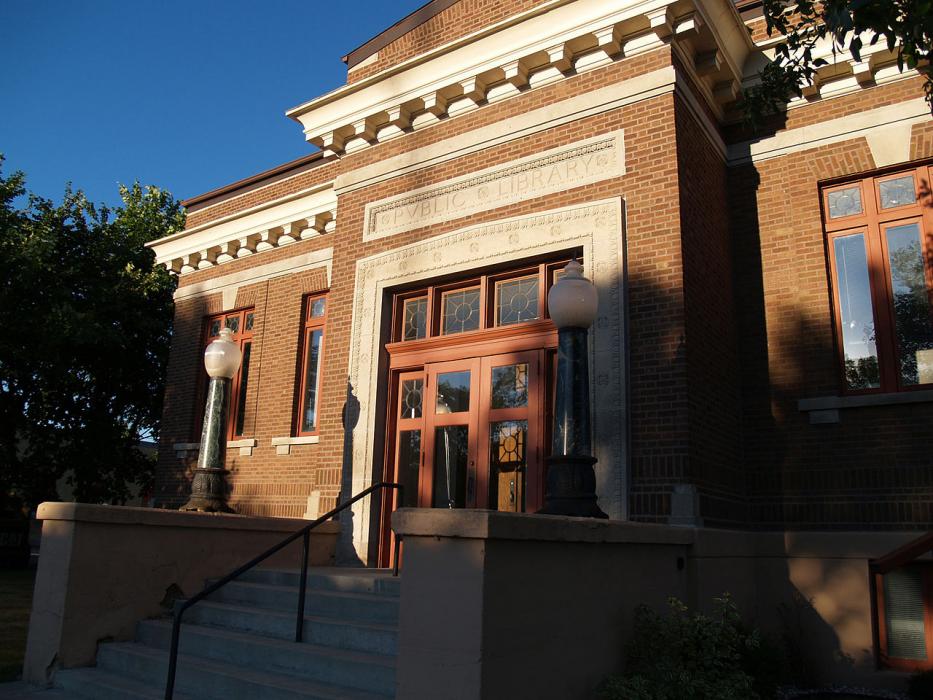
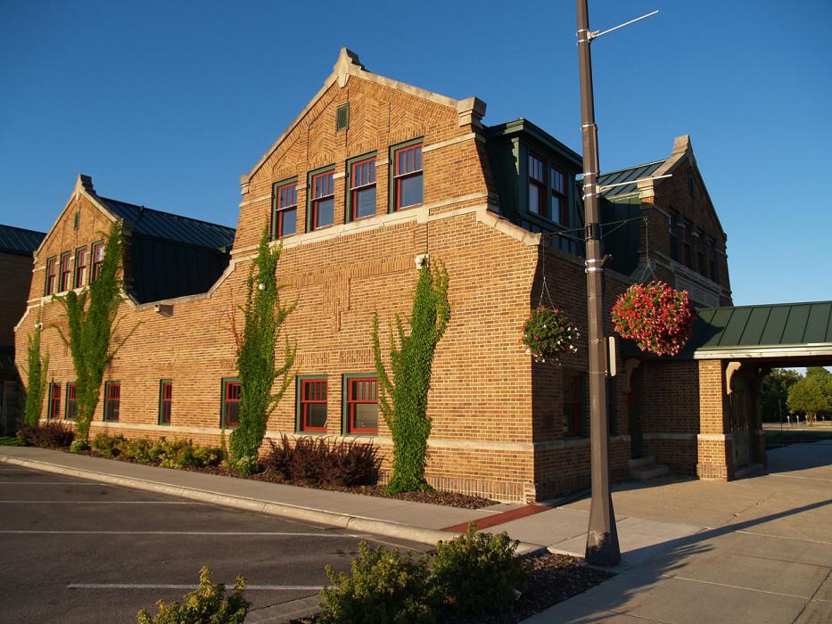
Gallery


Map and nearest places
| Longitude | Latitude |
|---|---|
| 48.11916666666669 | -96.1811111111111 |
| 48°7'0"N | 96°10'0"W |
| Nearest places | ||
|---|---|---|
| Thief River Falls Regional Airport | 6.0km | |
| Crookston Municipal Airport | 45.0km | |
| Crookston | 49.8km | |
| Grand Forks | 66.9km | |
| Fosston | 68.3km | |
| Grand Forks International Airport | 76.4km | |
| Hallock Municipal Airport | 90.1km | |
| Hallock | 92.2km | |
| Hutson Field Airport | 93.6km | |
| Grafton | 96.8km | |
| Warroad | 108.1km | |
| Warroad International Airport | 110.1km | |
| John Paul II International Airport | 7,500.6km | |
| Busselton Regional Airport | 16,946.5km | |
Accomodation
Restaurants
Golfs club
Airports
Weblinks
Comments
You need to log in to add comment